


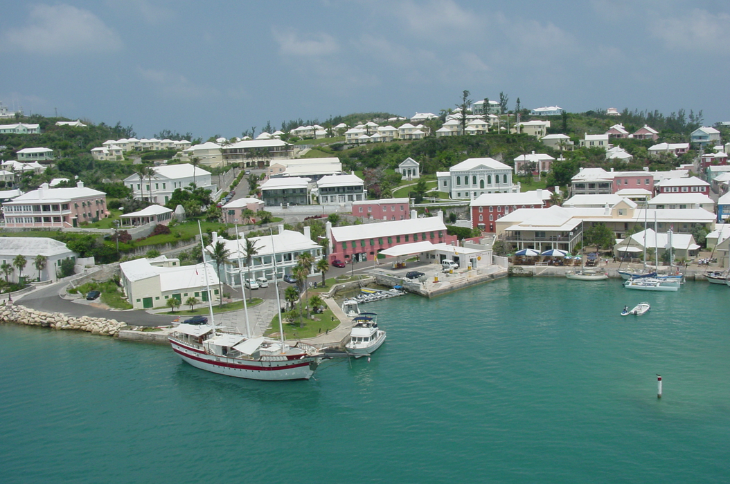
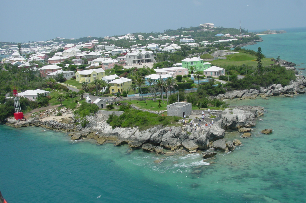
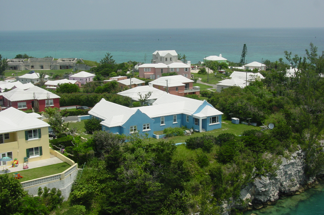


Map and nearest places
| Longitude | Latitude |
|---|---|
| 32.371667 | -64.675556 |
| 32°22'0"N | 64°40'0"W |
| Nearest places | ||
|---|---|---|
| L.F. Wade International Airport | 0.9km | |
| Hamilton | 13.3km | |
| Billy Mitchell Airport | 1,059.2km | |
| Hatteras | 1,065.2km | |
| Manteo | 1,084.6km | |
| Ocracoke Island Airport | 1,086.5km | |
| Dare County Regional Airport | 1,087.3km | |
| Ocracoke | 1,087.7km | |
| First Flight Airport | 1,088.7km | |
| Kill Devil Hills | 1,088.9km | |
| Nantucket Memorial Airport | 1,097.2km | |
| Engelhard | 1,100.2km | |
| John Paul II International Airport | 6,941.1km | |
| Jandakot Airport | 19,954.4km | |
Airports
Weblinks
Comments
You need to log in to add comment