


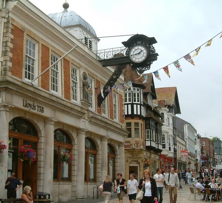
Gallery


Map and nearest places
| Longitude | Latitude |
|---|---|
| 51.063333333333304 | -1.3086111111111098 |
| 51°3'0"N | 1°18'0"W |
| Nearest places | ||
|---|---|---|
| Alresford | 10.7km | |
| Eastleigh | 11.5km | |
| Southampton Airport | 12.8km | |
| Bishops Waltham | 14.0km | |
| Romsey | 15.5km | |
| Southampton | 17.6km | |
| Whitchurch | 18.7km | |
| Bembridge Airport | 45.1km | |
| Bournemouth Airport | 49.0km | |
| London Heathrow Airport | 74.8km | |
| Shoreham Airport | 75.2km | |
| London Gatwick Airport | 79.2km | |
| John Paul II International Airport | 1,488.6km | |
| Dunedin International Airport | 19,168.9km | |
Accomodation
Restaurants
Spirits Distillery
Breweries
Weblinks
Comments
You need to log in to add comment