


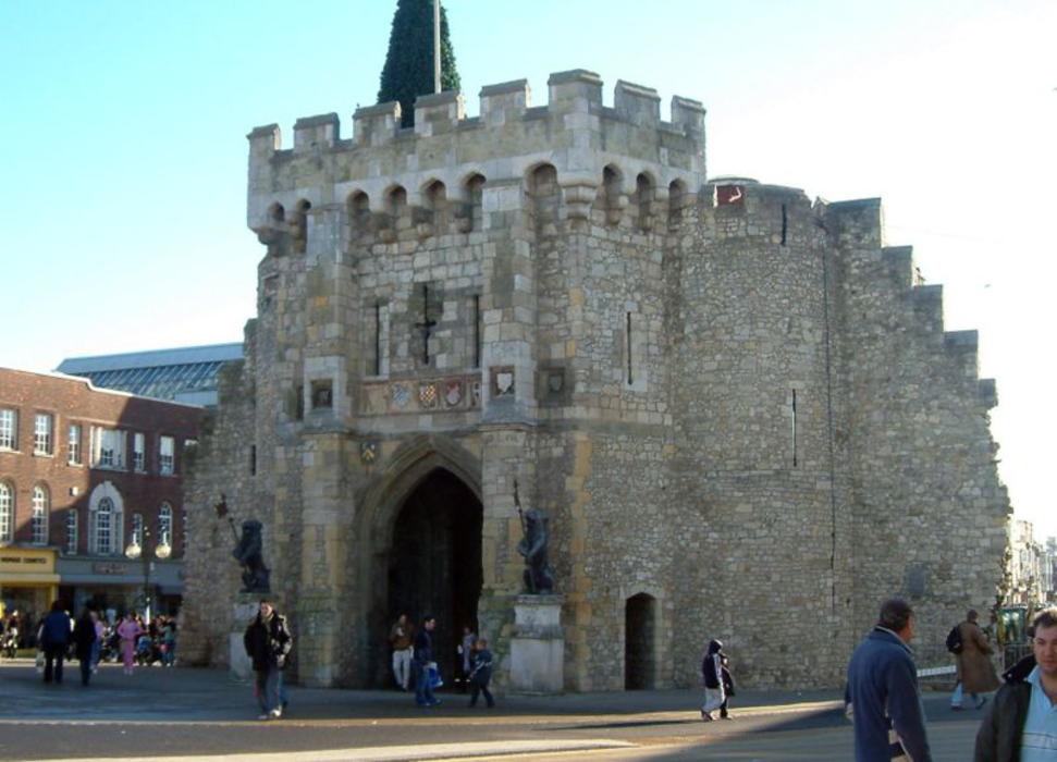


Map and nearest places
| Longitude | Latitude |
|---|---|
| 50.915 | -1.39527777777778 |
| 50°54'0"N | 1°23'0"W |
| Nearest places | ||
|---|---|---|
| Southampton Airport | 5.0km | |
| Eastleigh | 6.1km | |
| Totton and Eling | 6.7km | |
| Romsey | 10.8km | |
| Bishops Waltham | 13.6km | |
| Ashurst | 13.7km | |
| Fareham | 16.7km | |
| Bembridge Airport | 33.1km | |
| Bournemouth Airport | 34.9km | |
| Shoreham Airport | 77.5km | |
| London Gatwick Airport | 88.7km | |
| London Heathrow Airport | 90.3km | |
| John Paul II International Airport | 1,495.9km | |
| Dunedin International Airport | 19,184.0km | |
Accomodation
Restaurants
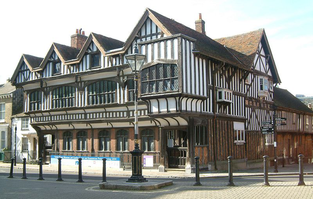
Museums
Golfs club
Breweries
Airports
Weblinks
Comments
You need to log in to add comment