


Map and nearest places
| Longitude | Latitude |
|---|---|
| 56.0333333333333 | 12.6166666666667 |
| 56°1'0"N | 12°37'0"E |
| Nearest places | ||
|---|---|---|
 | Helsingborg | 5.5km |
| Landskrona Airport | 18.6km | |
 | H�gan�s | 18.8km |
 | Landskrona | 22.9km |
 | Angelholm | 28.1km |
| Angelholm-Helsingborg Airport | 32.5km | |
 | Copenhagen | 39.8km |
 | K�vlinge | 40.8km |
| Kastrup Airport | 46.3km | |
| Roskilde Airport | 58.3km | |
| Malmoe Starup Airport | 67.0km | |
| Halmstad Airport | 74.1km | |
| John Paul II International Airport | 816.4km | |
| Tuuta Airport | 18,511.6km | |
Accomodation

Restaurants
Museums

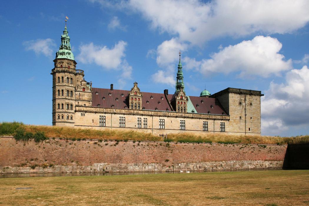
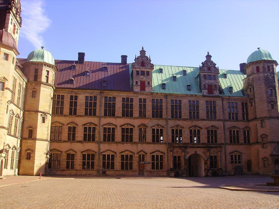
Castles

Weblinks
Comments
You need to log in to add comment