


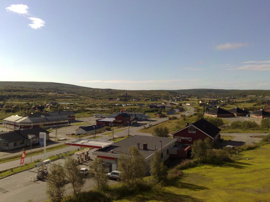
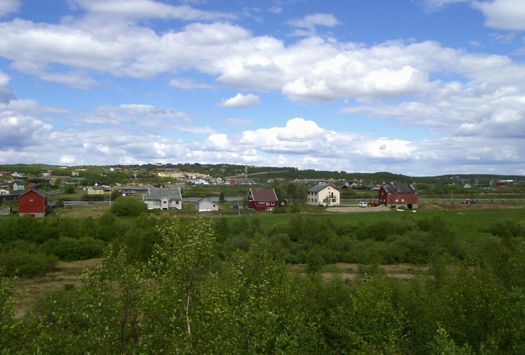
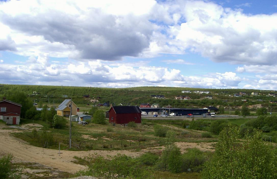
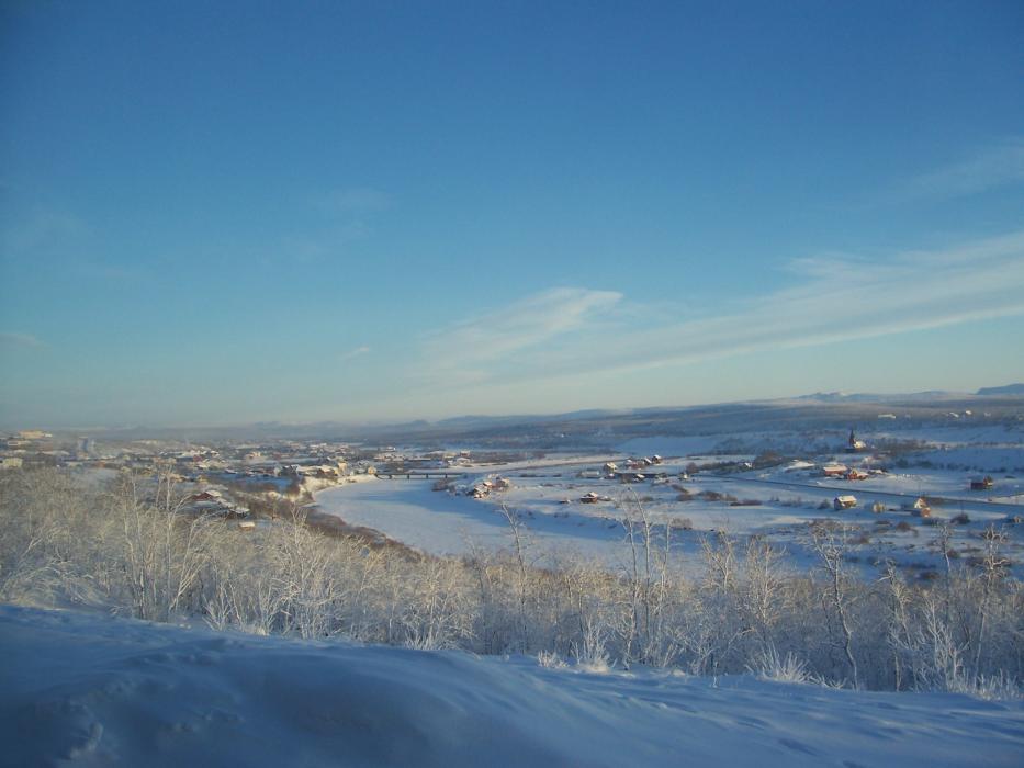


Map and nearest places
| Longitude | Latitude |
|---|---|
| 69.011667 | 23.043333 |
| 69°0'0"N | 23°2'0"E |
| Nearest places | ||
|---|---|---|
| Kautokeino Airport | 3.2km | |
| Karesuvanto | 66.5km | |
| Enontekio Airport | 73.7km | |
 | Enontekio | 73.7km |
 | Alta | 107.8km |
| Alta Airport | 108.0km | |
 | Karasjok | 109.7km |
| Sorkjosen | 118.8km | |
 | Muonio | 120.1km |
| Sorkjosen Airport | 127.8km | |
| Lakselv Airport | 139.2km | |
| Aavahelukka Airport | 161.2km | |
| John Paul II International Airport | 2,112.6km | |
| Tuuta Airport | 16,998.6km | |
Accomodation


Airports
Weblinks
Comments
You need to log in to add comment