


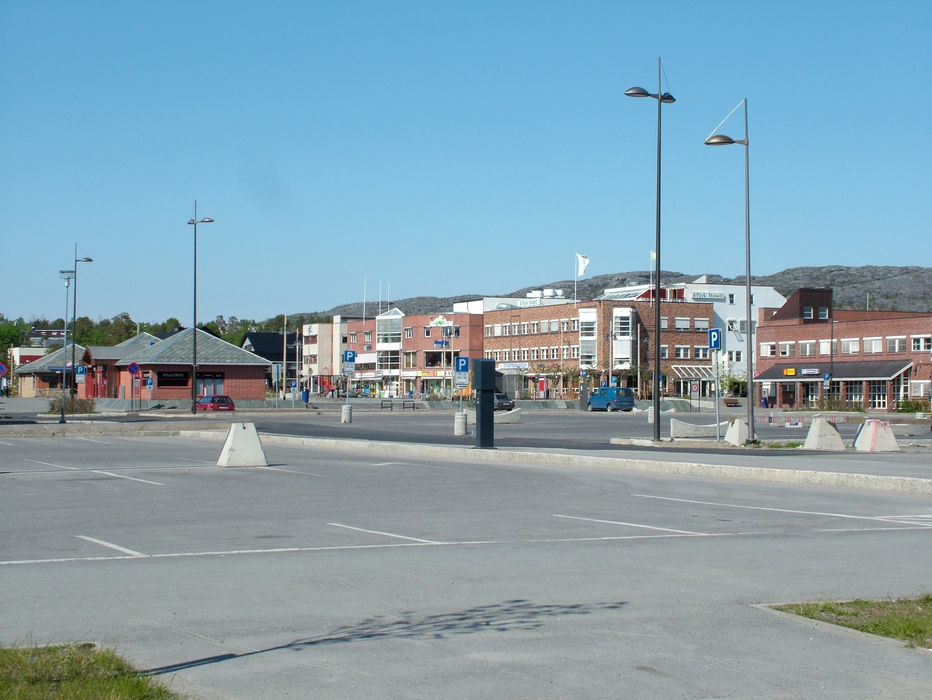
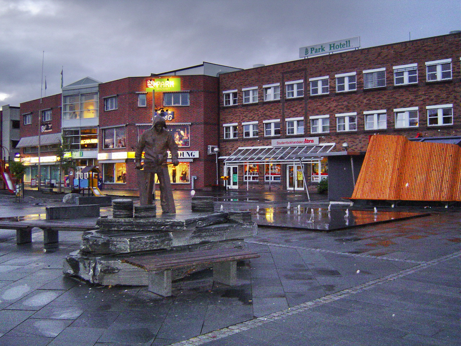
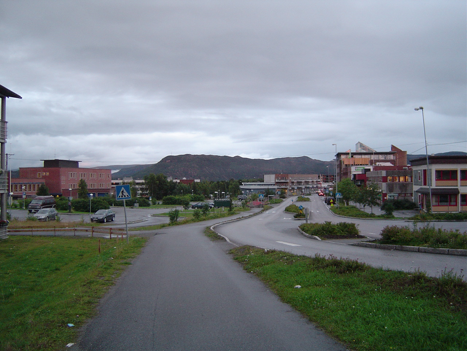
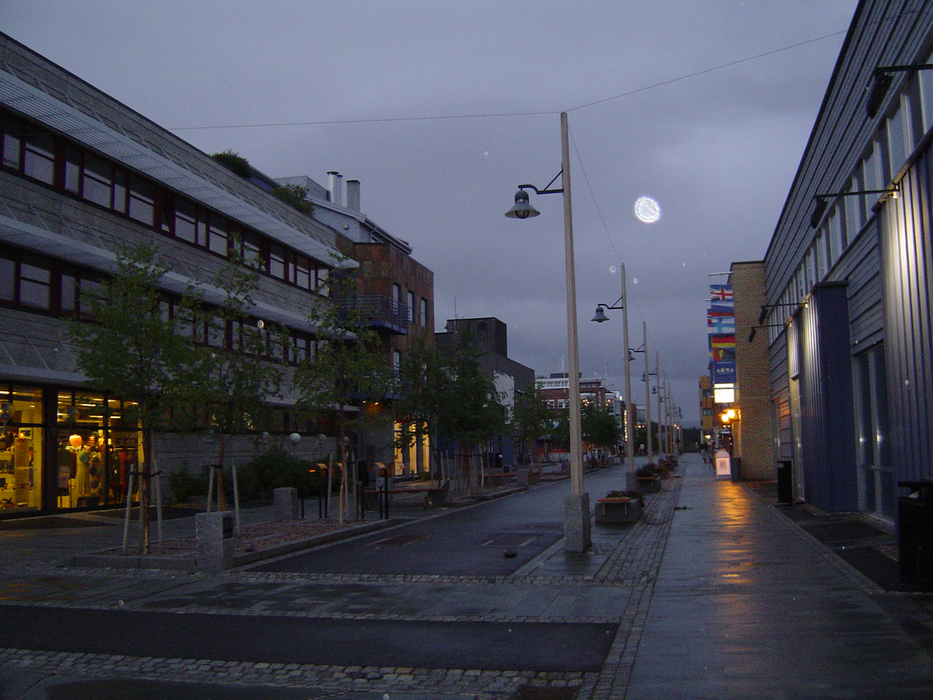
Gallery


Map and nearest places
| Longitude | Latitude |
|---|---|
| 69.976667 | 23.295833 |
| 69°58'0"N | 23°17'0"E |
| Nearest places | ||
|---|---|---|
| Alta Airport | 2.9km | |
| Kvalsund | 63.4km | |
| Lakselv | 64.2km | |
| Lakselv Airport | 64.5km | |
| Hasvik Airport | 71.5km | |
 | Hammerfest | 77.8km |
 | Hasvik | 77.9km |
| Hammerfest Airport | 79.4km | |
| Sorkjosen | 92.2km | |
 | Karasjok | 101.9km |
| Sorkjosen Airport | 104.0km | |
| Kautokeino Airport | 104.6km | |
| John Paul II International Airport | 2,220.4km | |
| Tuuta Airport | 16,902.0km | |
Accomodation
Restaurants
Museums
Golfs club
Airports

Weblinks
Comments
You need to log in to add comment