


Gallery


Map and nearest places
| Longitude | Latitude |
|---|---|
| 53.7425 | 7.49777777777778 |
| 53°44'0"N | 7°29'0"E |
| Nearest places | ||
|---|---|---|
 | Langeoog | 1.4km |
| Baltrum Airport | 8.4km | |
 | Baltrum | 8.6km |
 | Esens | 13.0km |
 | Neuharlingersiel | 14.4km |
| Nordeney Airport | 18.0km | |
| Harlesiel | 20.8km | |
| Harle Airport | 21.6km | |
 | Norderney | 23.4km |
| Wangerooge Airport | 27.7km | |
| Juist Airport | 29.9km | |
| Emden Airport | 43.0km | |
| John Paul II International Airport | 934.5km | |
| Tuuta Airport | 18,873.7km | |
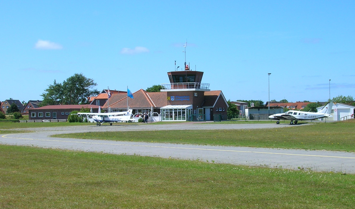
General informations
| Airport type | Local airport |
| ICAO | EDWL |
| IATA | LGO |
Weblinks
Comments
You need to log in to add comment