


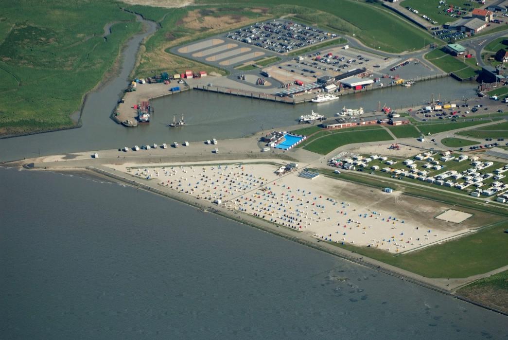
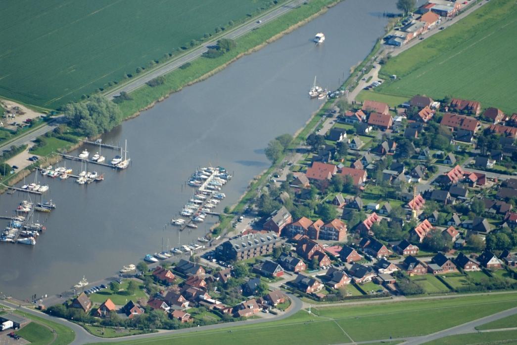
Gallery


Map and nearest places
| Longitude | Latitude |
|---|---|
| 53.706944 | 7.808056 |
| 53°42'0"N | 7°48'0"E |
| Nearest places | ||
|---|---|---|
| Harle Airport | 0.8km | |
 | Neuharlingersiel | 6.9km |
| Wangerooge Airport | 10.9km | |
 | Wangerooge | 11.0km |
 | Esens | 14.5km |
 | Wittmund | 14.8km |
| Jever | 16.0km | |
| Langeoog Airport | 20.8km | |
 | Langeoog | 22.1km |
| Baltrum Airport | 28.7km | |
| Nordeney Airport | 38.0km | |
| Westerwede Airport | 47.2km | |
| John Paul II International Airport | 914.0km | |
| Tuuta Airport | 18,871.6km | |
Accomodation
Airports
Weblinks
Comments
You need to log in to add comment