


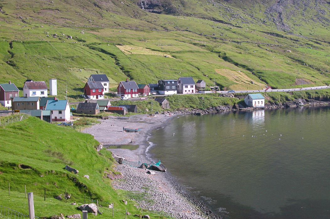
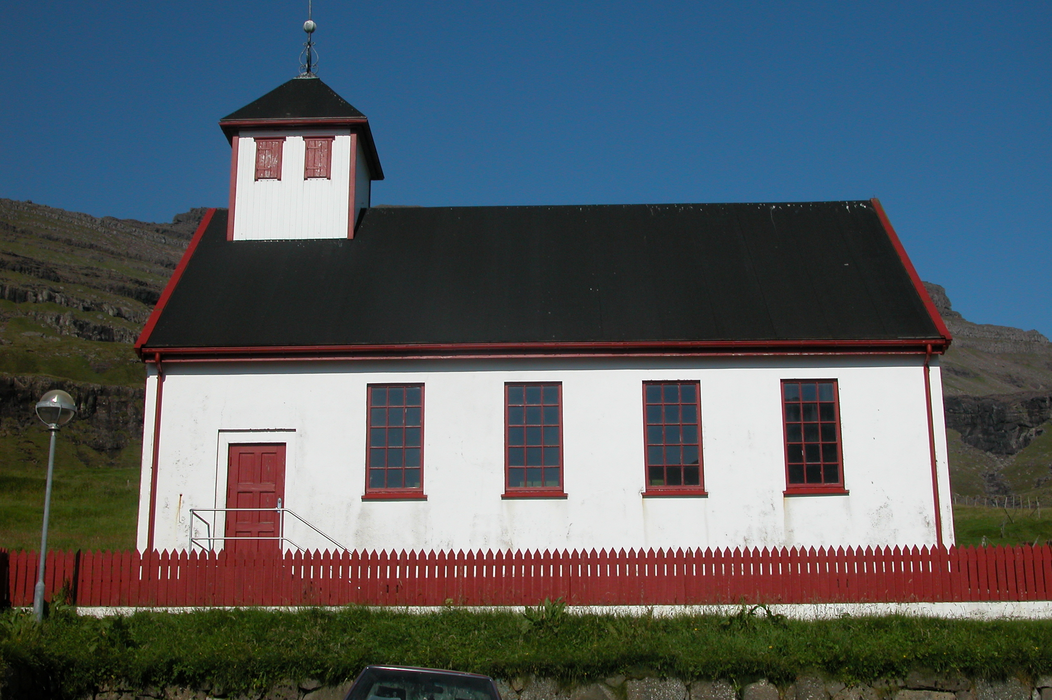
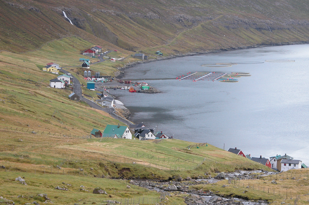
Gallery


Map and nearest places
| Longitude | Latitude |
|---|---|
| 62.25583333333331 | -6.53416666666667 |
| 62°15'0"N | 6°32'0"W |
| Nearest places | ||
|---|---|---|
| Klaksvík | 4.2km | |
| Hvannasund | 4.5km | |
| Viđareiđi | 7.7km | |
| Kunoy | 8.1km | |
| Leirvik | 10.2km | |
| Gota | 12.3km | |
| Vagar Airport | 44.1km | |
| Unst Airport | 344.7km | |
| Scatsta Airport | 345.0km | |
| Tingwall Airport | 364.3km | |
| Westray Airport | 376.9km | |
| Papa Westray Airport | 378.2km | |
| John Paul II International Airport | 2,092.8km | |
| Stewart Island Airport | 18,274.4km | |
Weblinks
Comments
You need to log in to add comment