


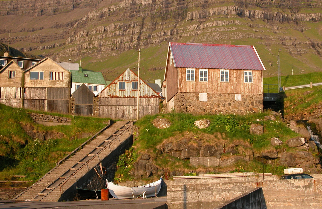
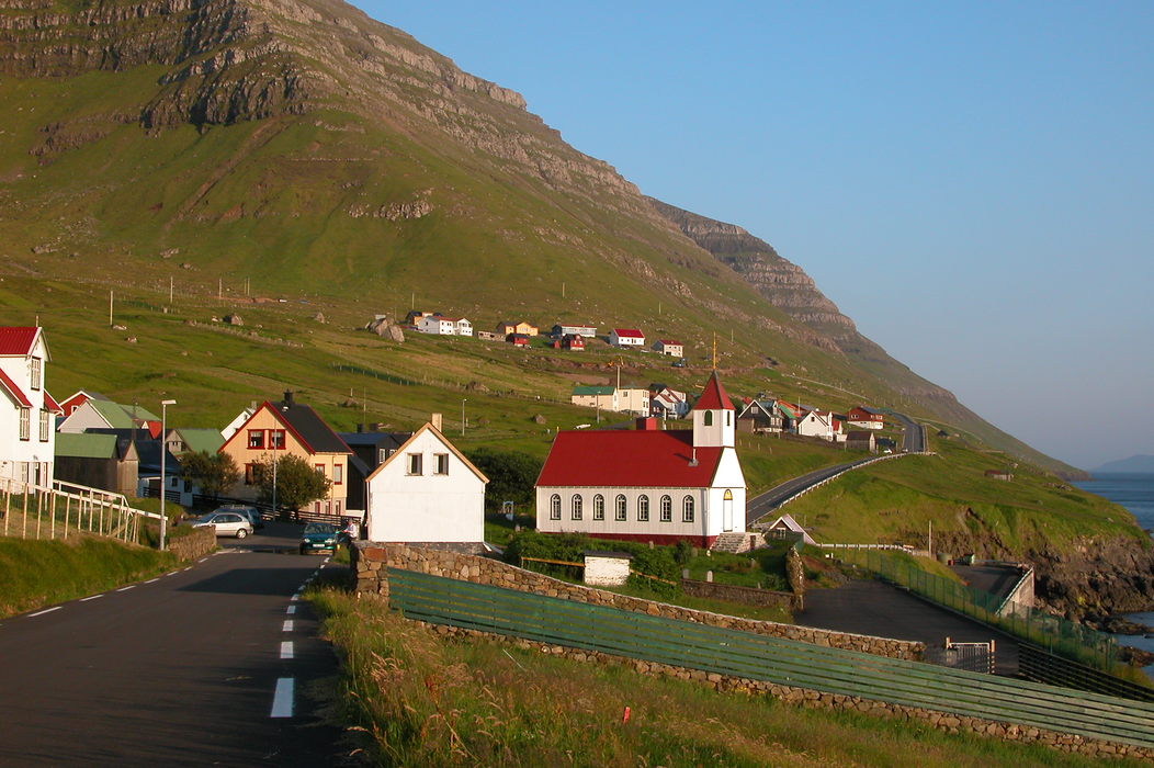
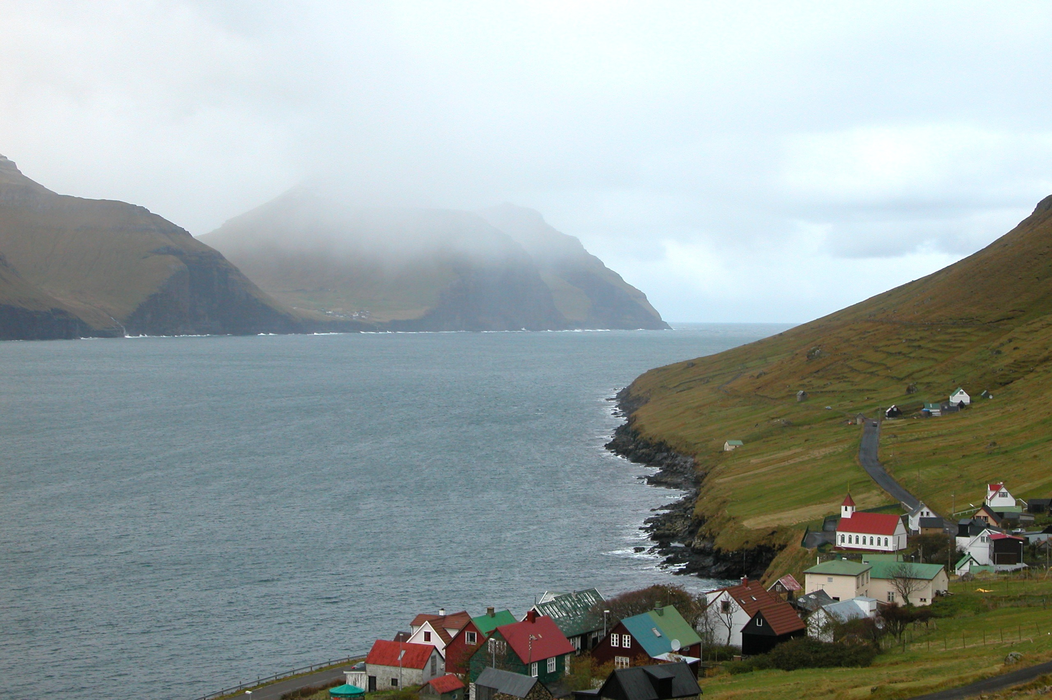
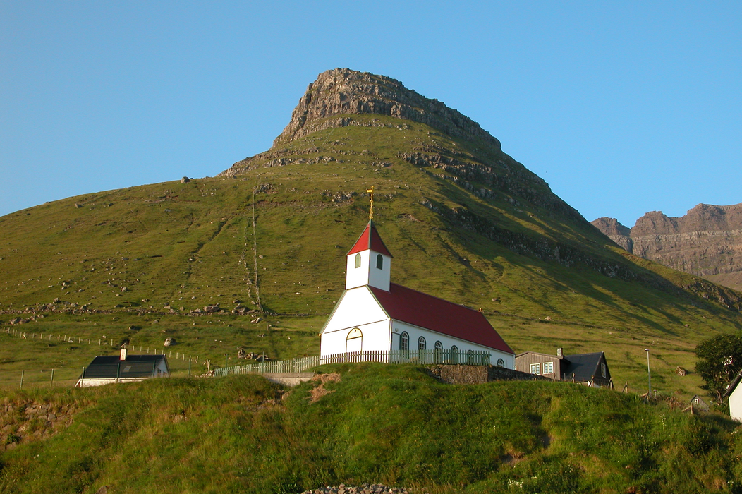


Map and nearest places
| Longitude | Latitude |
|---|---|
| 62.2936111111111 | -6.66722222222222 |
| 62°17'0"N | 6°40'0"W |
| Nearest places | ||
|---|---|---|
| Viđareiđi | 7.0km | |
| Hvannasund | 7.8km | |
| Árnafjřrđur | 8.1km | |
| Oyndarfjřrđur | 8.7km | |
| Klaksvík | 9.0km | |
| Fuglafjřrđur | 9.4km | |
| Vagar Airport | 40.7km | |
| Unst Airport | 352.8km | |
| Scatsta Airport | 353.0km | |
| Tingwall Airport | 372.3km | |
| Westray Airport | 384.2km | |
| Papa Westray Airport | 385.5km | |
| John Paul II International Airport | 2,100.9km | |
| Stewart Island Airport | 18,271.9km | |
Weblinks
Comments
On 10-25-2022 10:02 Jerzy said:
The nearest airport is FAE - Vagar, located 40.1 km south west of Kunoy
You need to log in to add comment
The nearest airport is FAE - Vagar, located 40.1 km south west of Kunoy
You need to log in to add comment