


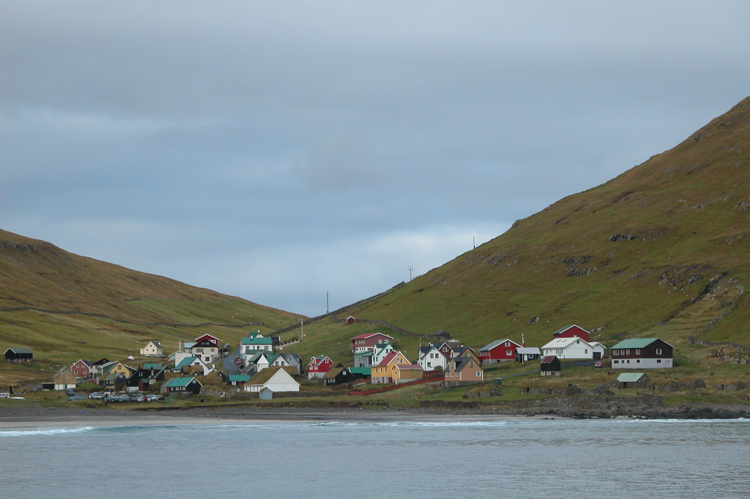
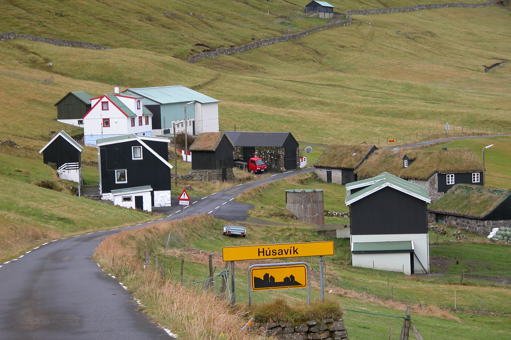
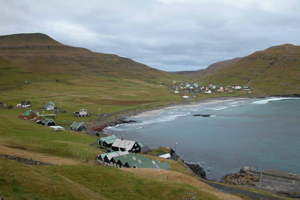
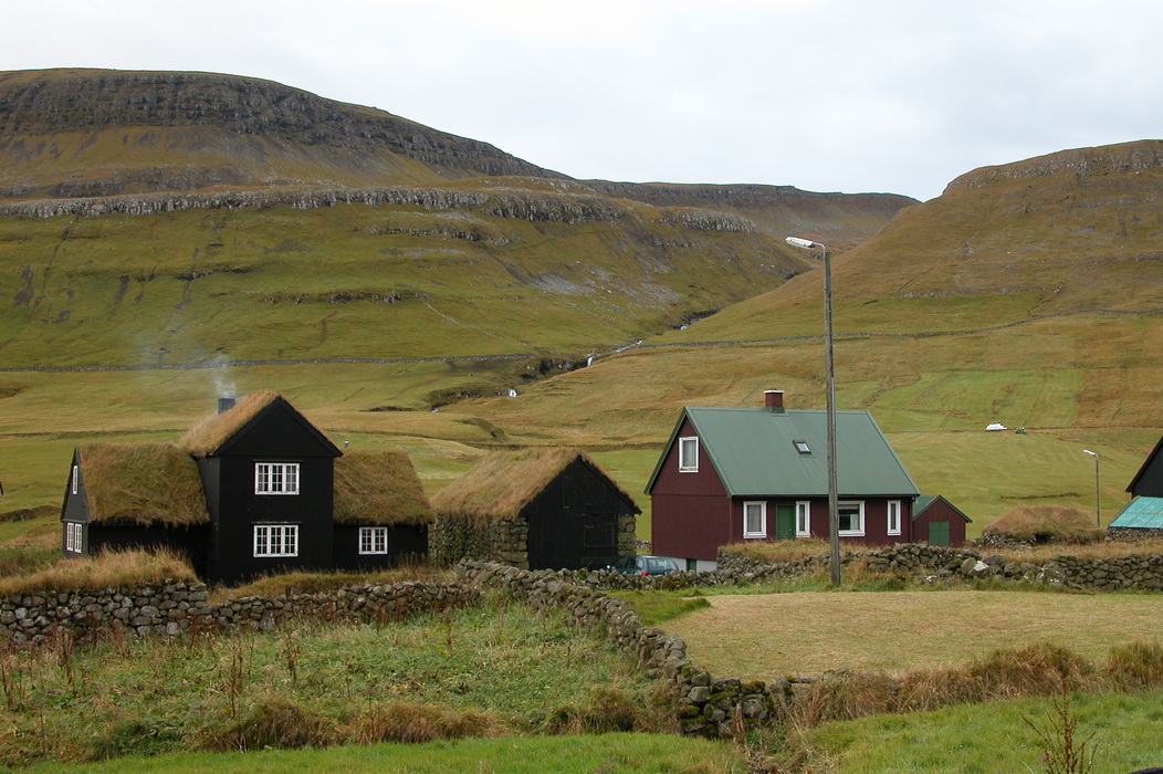


Map and nearest places
| Longitude | Latitude |
|---|---|
| 61.810555555555595 | -6.676388888888891 |
| 61°48'0"N | 6°40'0"W |
| Nearest places | ||
|---|---|---|
 | Sandur | 7.6km |
| Skopun | 15.3km | |
| Hestur | 19.7km | |
| Tórshavn | 22.9km | |
| Hvalba | 27.3km | |
| Tvřroyri | 29.1km | |
| Vagar Airport | 42.2km | |
| Scatsta Airport | 326.9km | |
| Unst Airport | 332.7km | |
| Westray Airport | 340.9km | |
| Papa Westray Airport | 342.4km | |
| Tingwall Airport | 343.6km | |
| John Paul II International Airport | 2,076.6km | |
| Stewart Island Airport | 18,324.2km | |
Weblinks
Comments
You need to log in to add comment