


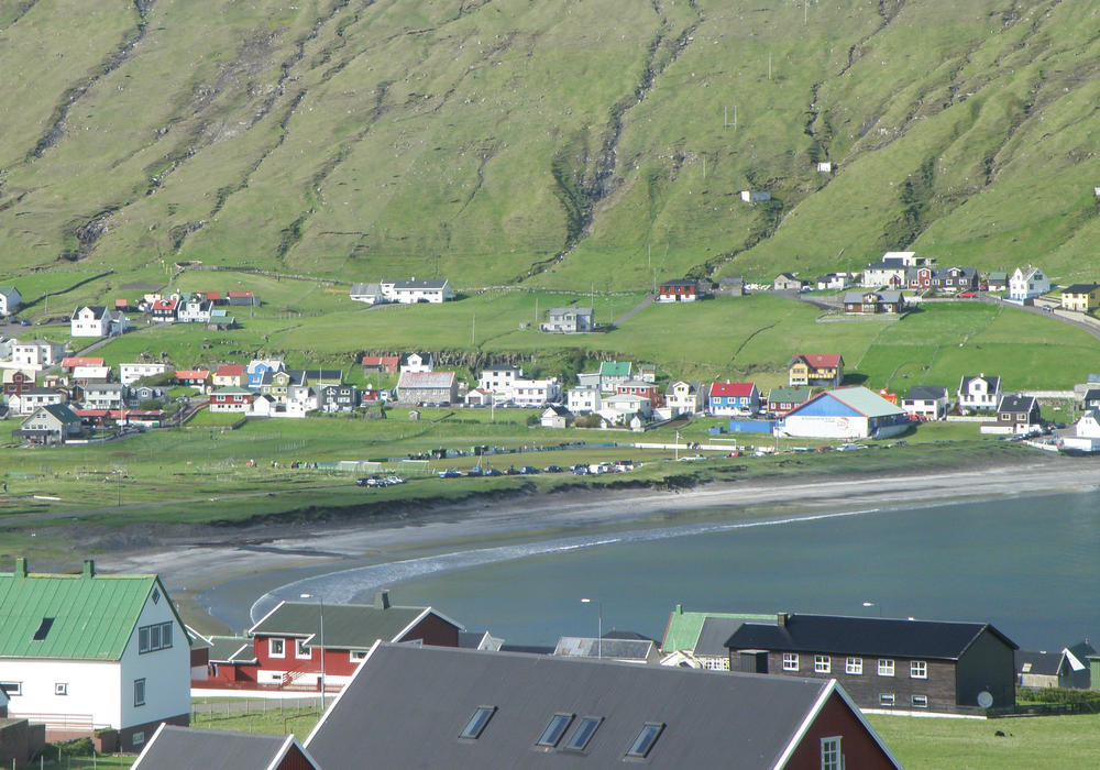
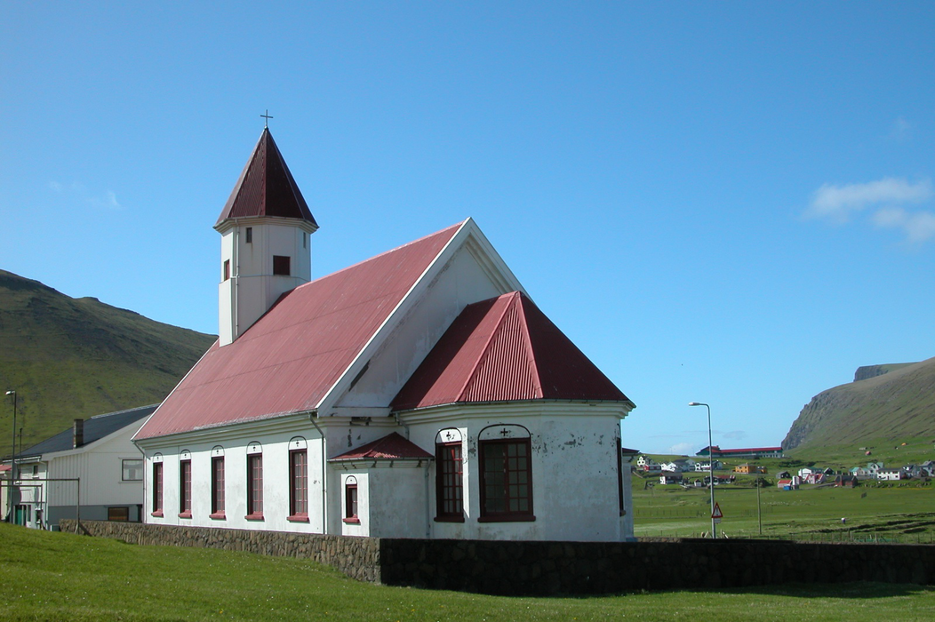
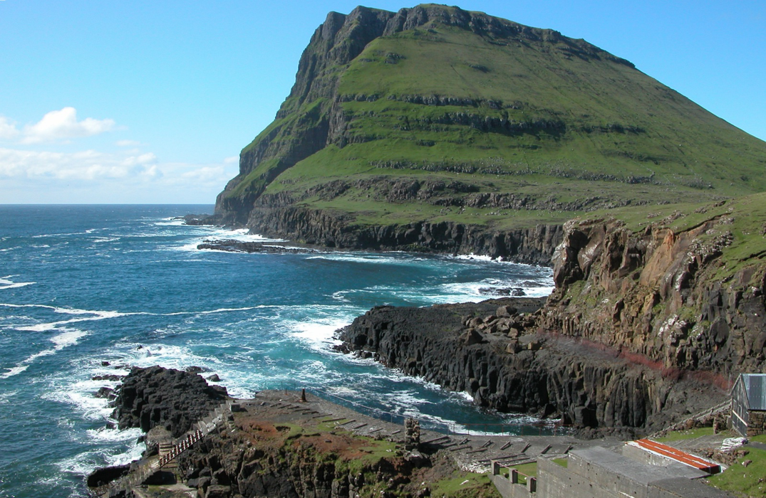
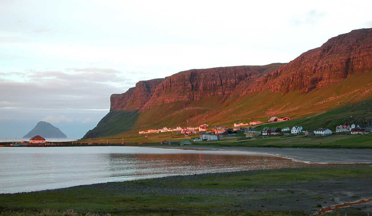
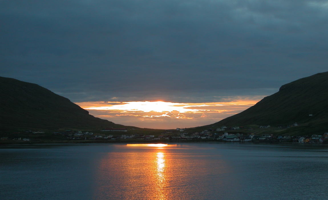
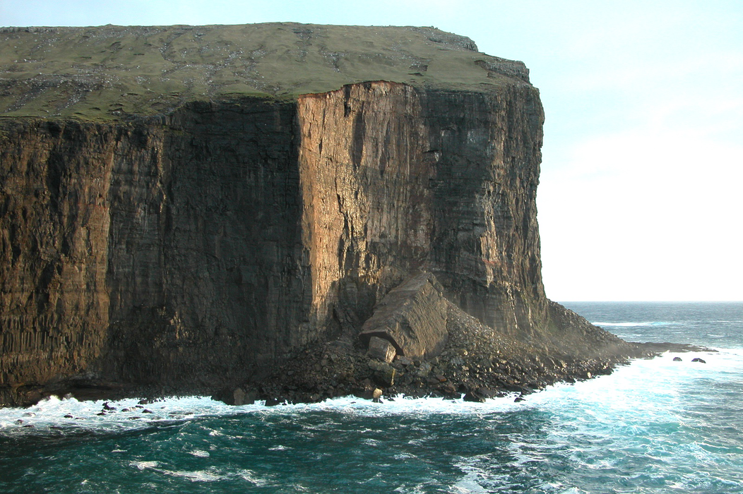
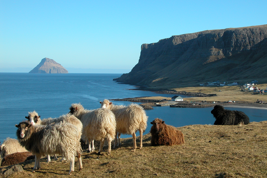
Gallery


Map and nearest places
| Longitude | Latitude |
|---|---|
| 61.6019444444444 | -6.949444444444439 |
| 61°36'0"N | 6°56'0"W |
| Nearest places | ||
|---|---|---|
| Famjin | 9.2km | |
| Tvøroyri | 9.3km | |
| Froŵba | 11.1km | |
| Hov | 14.5km | |
| Vagur | 16.0km | |
| Porkeri | 17.1km | |
| Vagar Airport | 54.1km | |
| Scatsta Airport | 331.0km | |
| Westray Airport | 332.6km | |
| Papa Westray Airport | 334.3km | |
| Unst Airport | 340.2km | |
| Tingwall Airport | 346.0km | |
| John Paul II International Airport | 2,079.3km | |
| Stewart Island Airport | 18,350.1km | |
Weblinks
Comments
You need to log in to add comment