


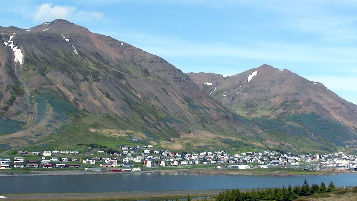


Map and nearest places
| Longitude | Latitude |
|---|---|
| 66.18333333333331 | -18.8833333333333 |
| 66°10'0"N | 18°52'0"W |
| Nearest places | ||
|---|---|---|
| Siglufjordur Airport | 5.8km | |
| Dalvik | 28.3km | |
 | Grimsey | 55.7km |
| Grimsey Airport | 57.5km | |
| Saudarkrokur Airport | 59.4km | |
 | Saudarkrokur | 59.5km |
 | Akureyri | 66.0km |
| Akureyri Airport | 68.9km | |
| Husavik Airport | 70.6km | |
 | Husavik | 72.1km |
| Reykjahlia Airport | 106.7km | |
| Myvtan | 107.3km | |
| John Paul II International Airport | 2,815.3km | |
| Stewart Island Airport | 17,831.7km | |
Accomodation
Restaurants
Museums
Breweries
Airports
Weblinks
Comments
You need to log in to add comment