


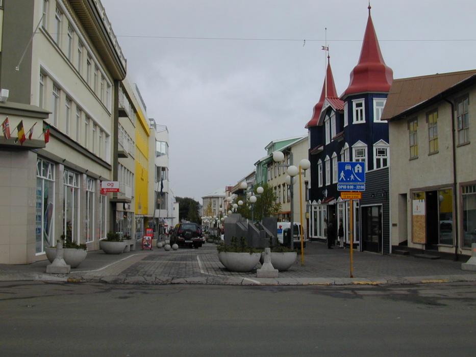
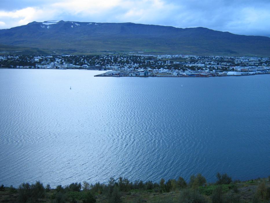
Gallery


Map and nearest places
| Longitude | Latitude |
|---|---|
| 65.68333333333331 | -18.1 |
| 65°40'0"N | 18°6'0"W |
| Nearest places | ||
|---|---|---|
| Akureyri Airport | 2.9km | |
| Dalvik | 37.7km | |
| Husavik Airport | 42.9km | |
| Myvtan | 51.3km | |
 | Husavik | 54.1km |
| Reykjahlia Airport | 54.2km | |
| Siglufjordur Airport | 62.3km | |
 | Siglufjordur | 66.0km |
 | Saudarkrokur | 70.7km |
| Saudarkrokur Airport | 71.3km | |
 | Grimsey | 94.8km |
| Grimsey Airport | 98.3km | |
| John Paul II International Airport | 2,762.7km | |
| Stewart Island Airport | 17,894.1km | |
Accomodation
Restaurants

Museums
Breweries
Airports

Weblinks
Comments
You need to log in to add comment