


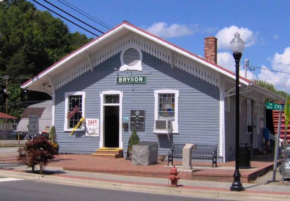
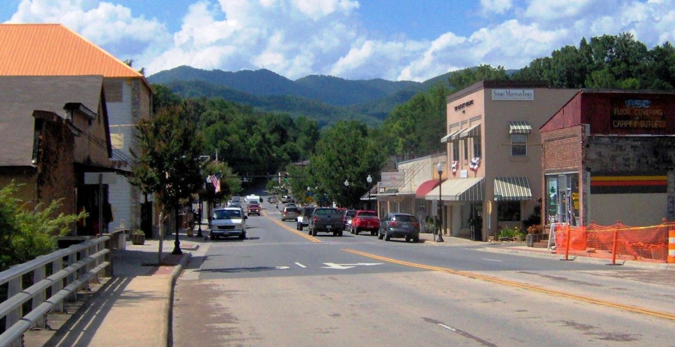
Gallery


Map and nearest places
| Longitude | Latitude |
|---|---|
| 35.426944 | -83.447778 |
| 35°25'0"N | 83°26'0"W |
| Nearest places | ||
|---|---|---|
| Sylva | 21.7km | |
| Macon County Airport | 22.9km | |
| Jackson County Airport | 24.8km | |
| Franklin | 28.0km | |
| Gatlinburg | 32.5km | |
| Waynesville | 41.5km | |
| Pigeon Forge | 42.1km | |
| Andrews | 42.6km | |
| Andrews-Murphy Airport | 45.6km | |
| Gatlinburg-Pigeon Forge Airport | 48.5km | |
| McGhee Tyson Airport | 65.3km | |
| Knoxville Downtown Island Airport | 71.0km | |
| John Paul II International Airport | 7,899.7km | |
| Busselton Regional Airport | 18,281.5km | |
Accomodation
Restaurants
Golfs club
Wineries
Breweries
Weblinks
Comments
You need to log in to add comment