


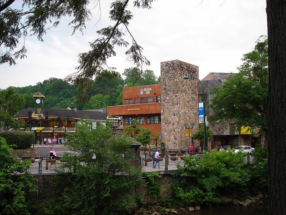
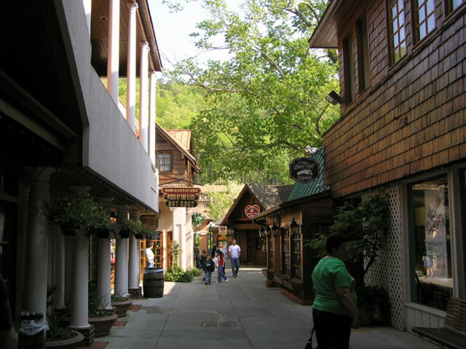
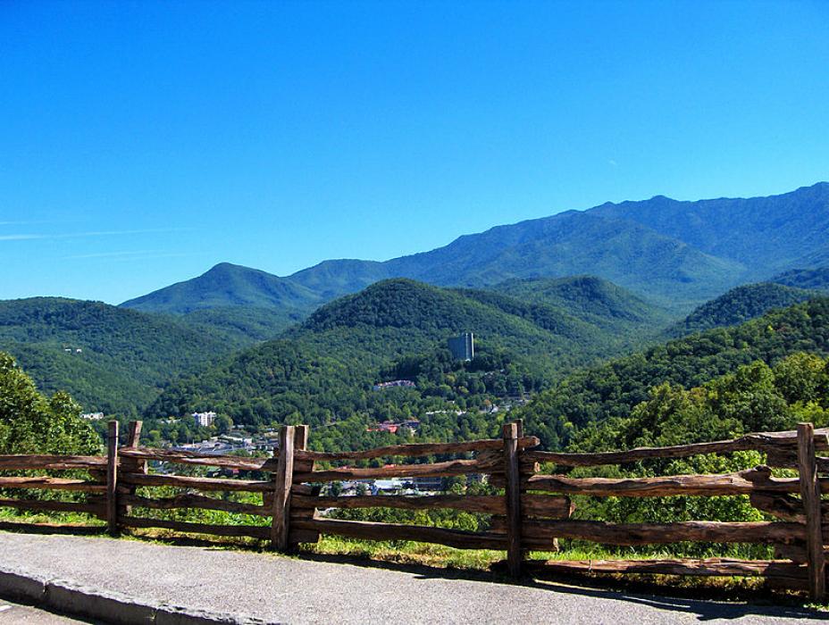


Map and nearest places
| Longitude | Latitude |
|---|---|
| 35.714444 | -83.511389 |
| 35°42'0"N | 83°30'0"W |
| Nearest places | ||
|---|---|---|
| Pigeon Forge | 10.0km | |
| Gatlinburg-Pigeon Forge Airport | 16.0km | |
| Sevierville | 18.9km | |
| Kodak | 30.7km | |
| Bryson City | 32.5km | |
| Dandridge | 35.8km | |
| Newport | 39.6km | |
| Knoxville Downtown Island Airport | 42.8km | |
| McGhee Tyson Airport | 44.8km | |
| Jackson County Airport | 51.9km | |
| Moore-Murrell Airport | 53.1km | |
| Macon County Airport | 55.3km | |
| John Paul II International Airport | 7,879.5km | |
| Busselton Regional Airport | 18,274.9km | |
Accomodation
Restaurants
Golfs club
Spirits Distillery
Breweries
Weblinks
Comments
You need to log in to add comment