


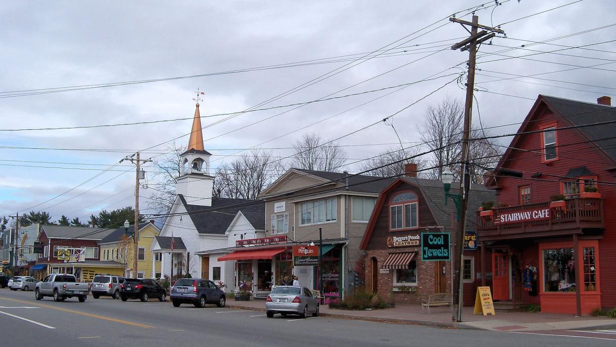
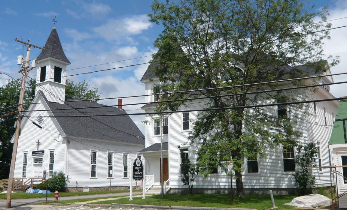
Gallery


Map and nearest places
| Longitude | Latitude |
|---|---|
| 43.978611 | -71.118889 |
| 43°58'0"N | 71°7'0"W |
| Nearest places | ||
|---|---|---|
| North Conway | 8.3km | |
| Fryeburg | 11.8km | |
| Eastern Slopes Regional Airport | 13.8km | |
| Bartlett | 17.1km | |
| Tamworth | 17.6km | |
| Moultonboro Airport | 31.7km | |
| Ossipee | 32.7km | |
 | Moultonborough | 33.4km |
| Limington-Harmon Airport | 43.1km | |
| Twin Mountain Airport | 46.6km | |
| Gorham Airport | 46.7km | |
| Laconia Municipal Airport | 51.2km | |
| John Paul II International Airport | 6,484.3km | |
| Albany Airport | 18,753.1km | |
Restaurants
Breweries
Weblinks
Comments
You need to log in to add comment