


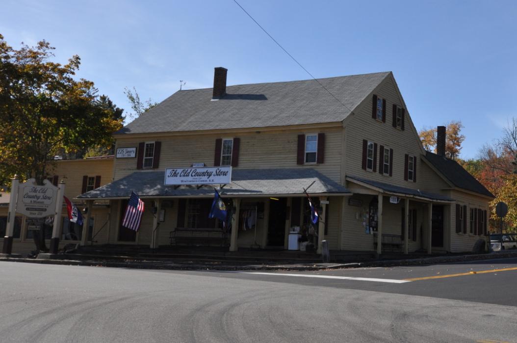


Map and nearest places
| Longitude | Latitude |
|---|---|
| 43.755 | -71.39638888888891 |
| 43°45'0"N | 71°23'0"W |
| Nearest places | ||
|---|---|---|
| Moultonboro Airport | 1.7km | |
| Meredith | 13.7km | |
 | Holderness | 15.6km |
| Tamworth | 15.8km | |
| Laconia Municipal Airport | 20.3km | |
 | Gilford | 23.1km |
| Ossipee | 23.8km | |
| Wolfeboro | 24.1km | |
| Newfound Valley Airport | 33.8km | |
| Eastern Slopes Regional Airport | 44.5km | |
| Franconia Airport | 56.6km | |
| Twin Mountain Airport | 57.9km | |
| John Paul II International Airport | 6,517.4km | |
| Albany Airport | 18,757.2km | |
Accomodation
Restaurants
Golfs club
Airports
Weblinks
Comments
You need to log in to add comment