


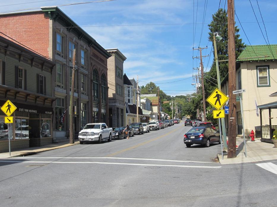
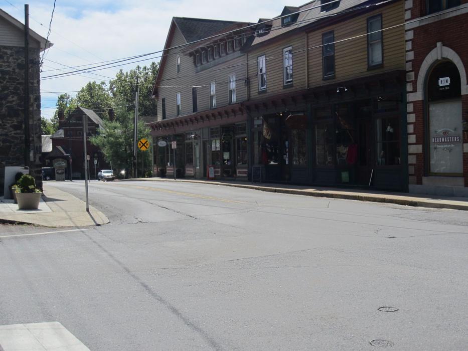
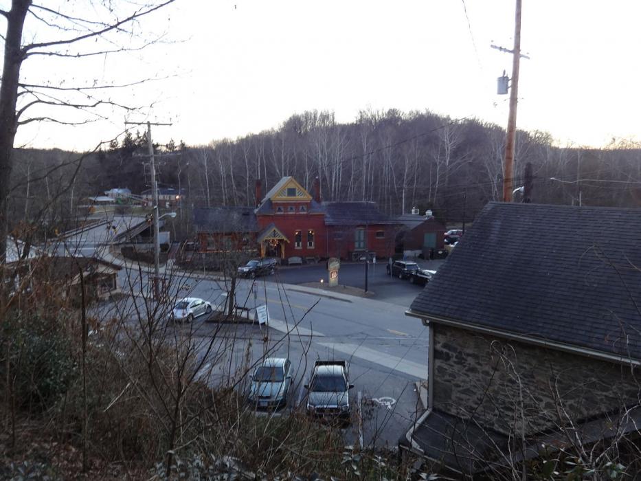


Map and nearest places
| Longitude | Latitude |
|---|---|
| 39.371111 | -76.9725 |
| 39°22'0"N | 76°58'0"W |
| Nearest places | ||
|---|---|---|
| Mount Airy | 15.7km | |
| Ellicott City | 18.8km | |
 | Westminster | 23.0km |
| Carroll County Regional Airport | 26.5km | |
| Montgomery County Airpark | 28.0km | |
| Hampstead | 28.6km | |
| Laurel | 32.1km | |
 | Baltimore | 32.1km |
| Baltimore-Washington International Airport | 34.1km | |
| Frederick Municipal Airport | 34.9km | |
| Tipton Airport | 36.7km | |
| Martin State Airport | 48.3km | |
| John Paul II International Airport | 7,189.0km | |
| Busselton Regional Airport | 18,744.1km | |
Accomodation
Restaurants
Spirits Distillery
Weblinks
Comments
You need to log in to add comment