


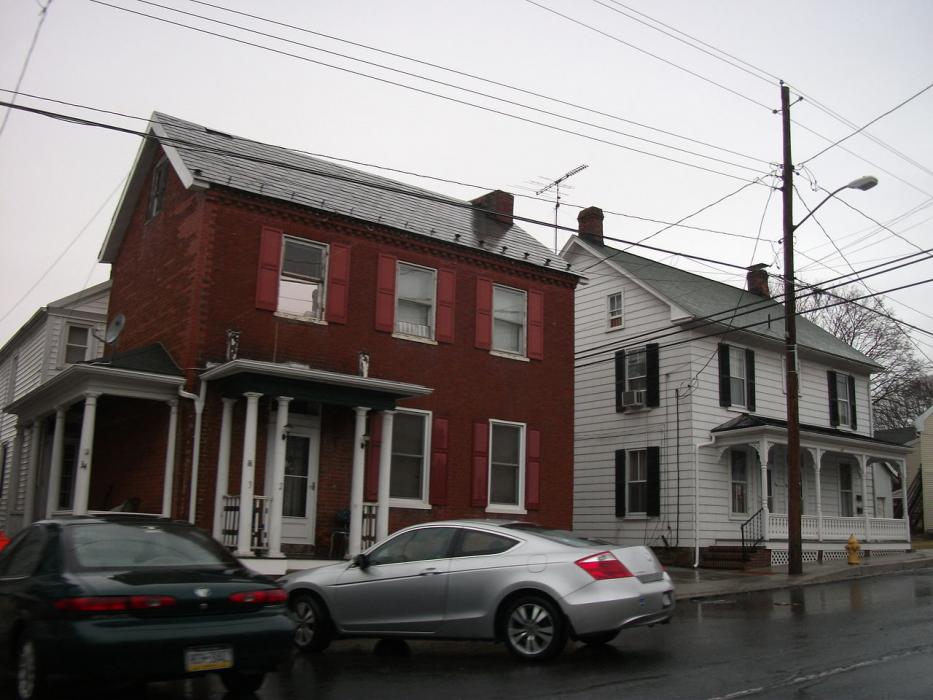
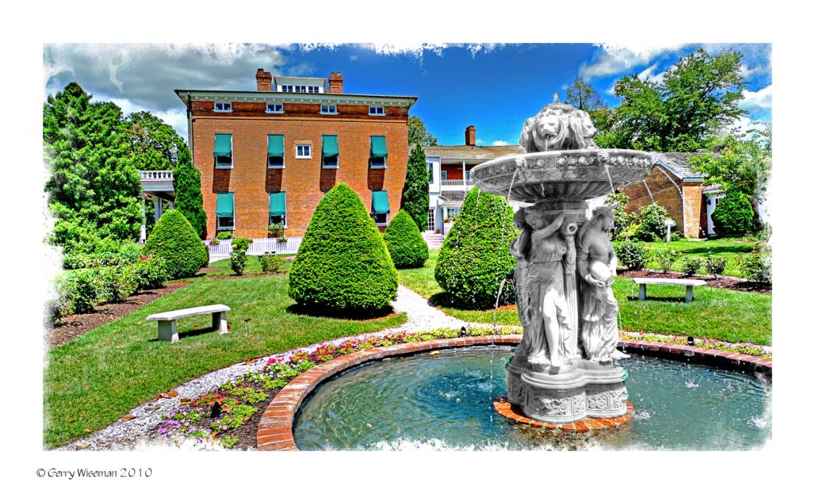
Gallery


Map and nearest places
| Longitude | Latitude |
|---|---|
| 39.657222 | -77.170556 |
| 39°39'0"N | 77°10'0"W |
| Nearest places | ||
|---|---|---|
| Carroll County Regional Airport | 15.0km | |
 | Westminster | 17.1km |
| Gettysburg | 19.7km | |
| Thurmont | 20.8km | |
| Gettysburg Regional Airport | 22.3km | |
| Hampstead | 27.8km | |
| Mount Airy | 31.4km | |
| Frederick Municipal Airport | 31.9km | |
 | Frederick | 33.4km |
| Hagerstown Regional Airport | 48.2km | |
| Montgomery County Airpark | 54.4km | |
| Capital City Airport | 68.0km | |
| John Paul II International Airport | 7,178.4km | |
| Busselton Regional Airport | 18,714.7km | |
Accomodation
Restaurants
Weblinks
Comments
You need to log in to add comment