


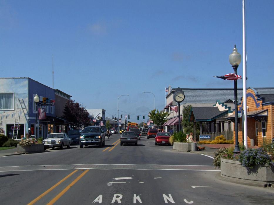


Map and nearest places
| Longitude | Latitude |
|---|---|
| 46.350833 | -124.053611 |
| 46°21'0"N | 124°3'0"W |
| Nearest places | ||
|---|---|---|
| Ilwaco | 4.6km | |
| Warrenton | 22.9km | |
| Astoria Regional Airport | 25.3km | |
 | Astoria | 25.4km |
| Gearhart | 37.7km | |
| Seaside | 41.1km | |
| Raymond | 43.8km | |
| Westport Airport | 60.8km | |
| Bowerman Airport | 69.5km | |
| Chehalis-Centralia Airport | 89.6km | |
| Kelso-Longview Regional Airport | 92.5km | |
| Tillamook Airport | 105.3km | |
| John Paul II International Airport | 8,742.2km | |
| Tolagnaro Airport | 17,514.0km | |
Weblinks
Comments
You need to log in to add comment