


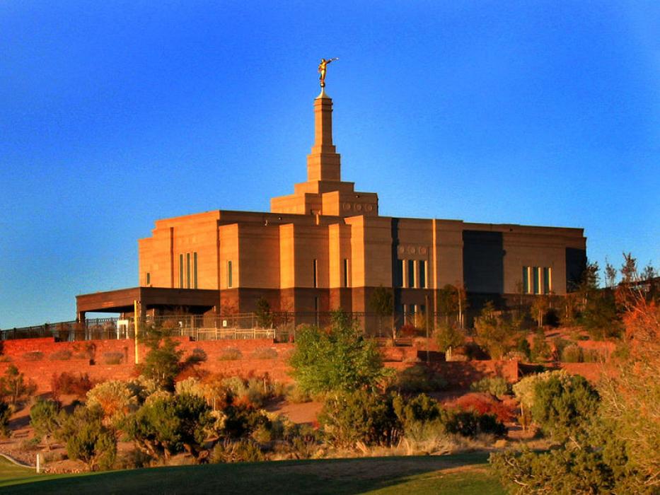
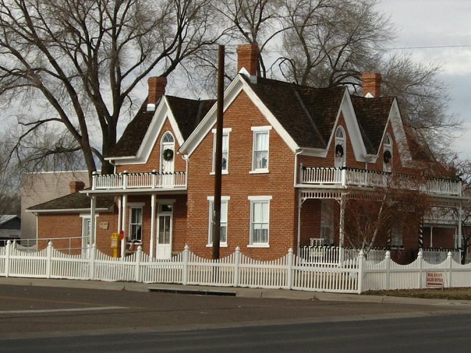
Gallery


Map and nearest places
| Longitude | Latitude |
|---|---|
| 34.511111 | -110.083056 |
| 34°30'0"N | 110°4'0"W |
| Nearest places | ||
|---|---|---|
| Taylor | 5.4km | |
| Taylor Airport | 7.1km | |
| Show Low Regional Airport | 28.2km | |
| Show Low | 29.9km | |
| Pinetop-Lakeside | 42.5km | |
| Holbrook | 44.6km | |
| Heber-Overgaard | 45.5km | |
| St. Johns Industrial Air Park | 64.5km | |
| Saint Johns | 65.2km | |
| Winslow-Lindbergh Regional Airport | 81.5km | |
| Springerville Municipal Airport | 82.6km | |
| Payson Airport | 118.7km | |
| John Paul II International Airport | 9,398.0km | |
| Sir Gaëtan Duval Airport | 18,252.2km | |
Accomodation
Restaurants
Golfs club
Weblinks
Comments
You need to log in to add comment