


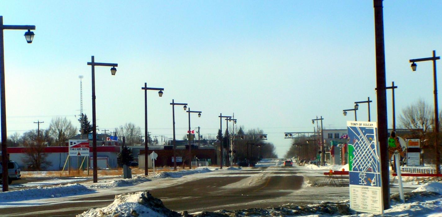
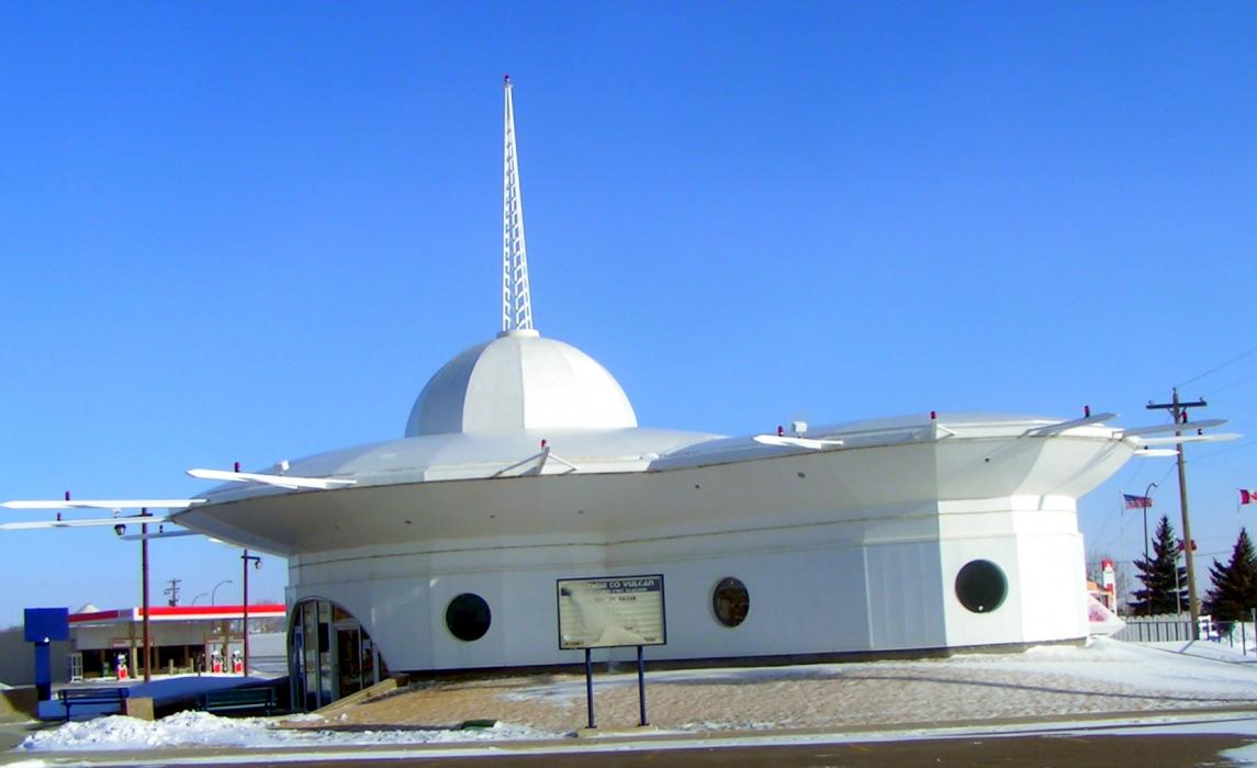
Gallery


Map and nearest places
| Longitude | Latitude |
|---|---|
| 50.406666666666695 | -113.255 |
| 50°24'0"N | 113°15'0"W |
| Nearest places | ||
|---|---|---|
| Vulcan Airport | 2.0km | |
| High River Airport | 43.8km | |
| High River | 47.9km | |
| Strathmore | 70.9km | |
| Black Diamond | 75.9km | |
| Fort Macleod | 76.4km | |
| Turner Valley | 78.2km | |
| Fort Macleod Airport | 79.4km | |
 | Lethbridge | 84.8km |
| Strathmore (D.J. Murray) Airport | 85.4km | |
| Lethbridge County Airport | 92.3km | |
| Calgary International Airport | 95.3km | |
| John Paul II International Airport | 7,987.2km | |
| Tolagnaro Airport | 16,723.4km | |
Airports
Weblinks
Comments
You need to log in to add comment