


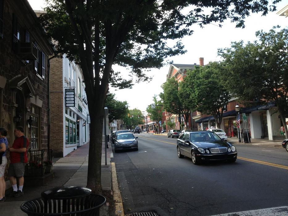
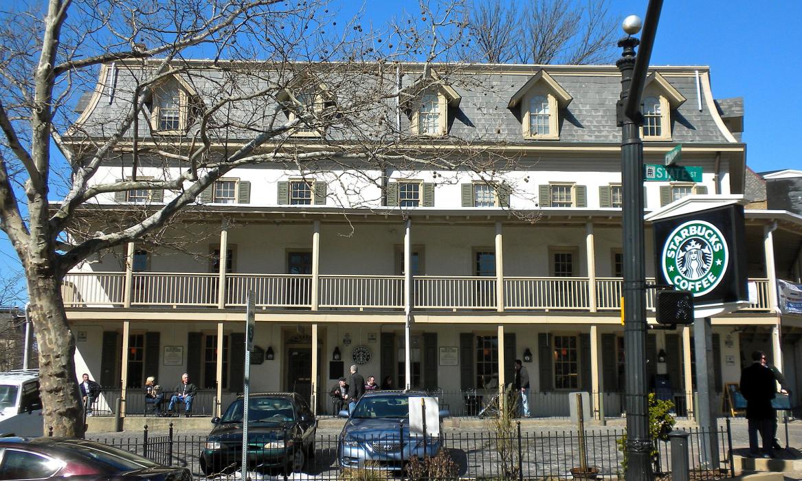
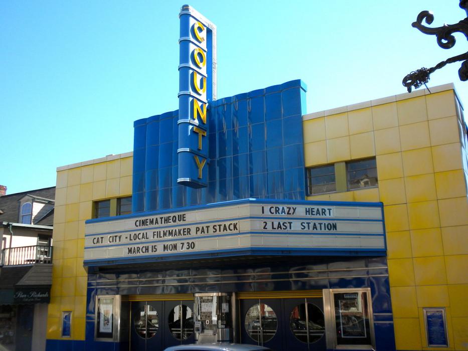
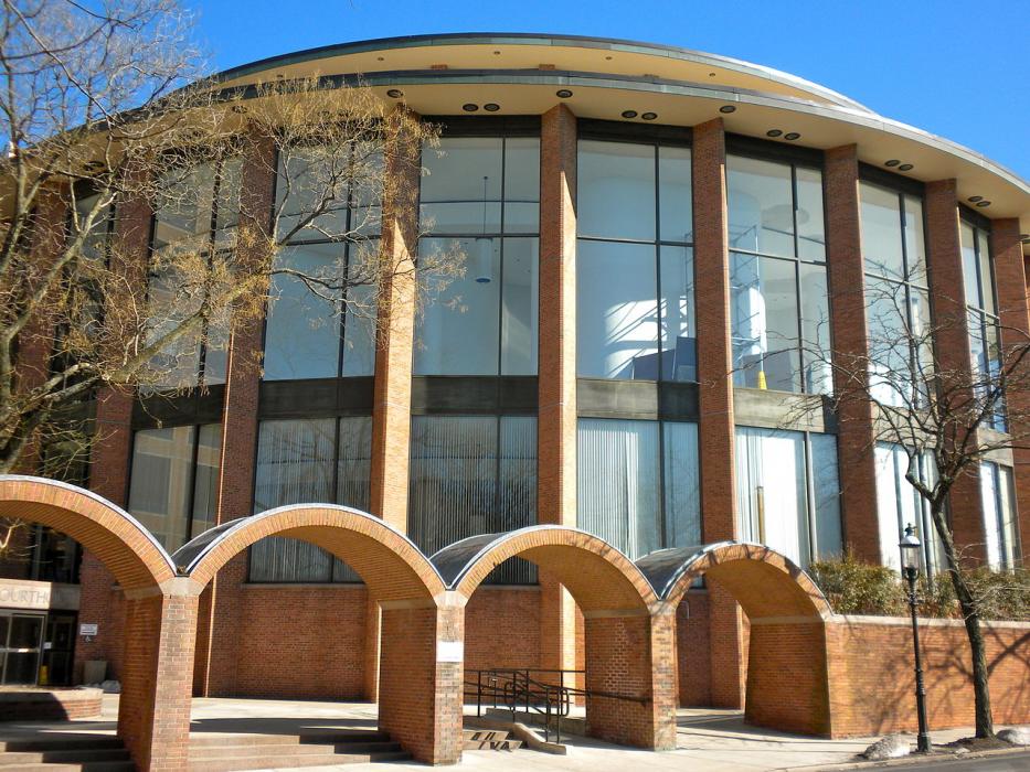


Map and nearest places
| Longitude | Latitude |
|---|---|
| 40.3127777777778 | -75.1288888888889 |
| 40°18'0"N | 75°7'0"W |
| Nearest places | ||
|---|---|---|
| Doylestown Airport | 2.3km | |
| Perkasie | 15.4km | |
| Wings Field Airport | 22.7km | |
| Quakertown | 22.9km | |
| Quakertown Airport | 25.4km | |
| Trenton-Mercer Airport | 27.1km | |
| Bensalem | 27.3km | |
| Northeast Philadelphia Airport | 27.6km | |
| Pennridge Airport | 29.1km | |
| Ewing Township | 29.2km | |
| Flemington | 31.5km | |
| Hopewell | 32.1km | |
| John Paul II International Airport | 7,003.4km | |
| Busselton Regional Airport | 18,826.9km | |
Accomodation
Restaurants
Golfs club
Breweries
Airports
Weblinks
Comments
You need to log in to add comment