


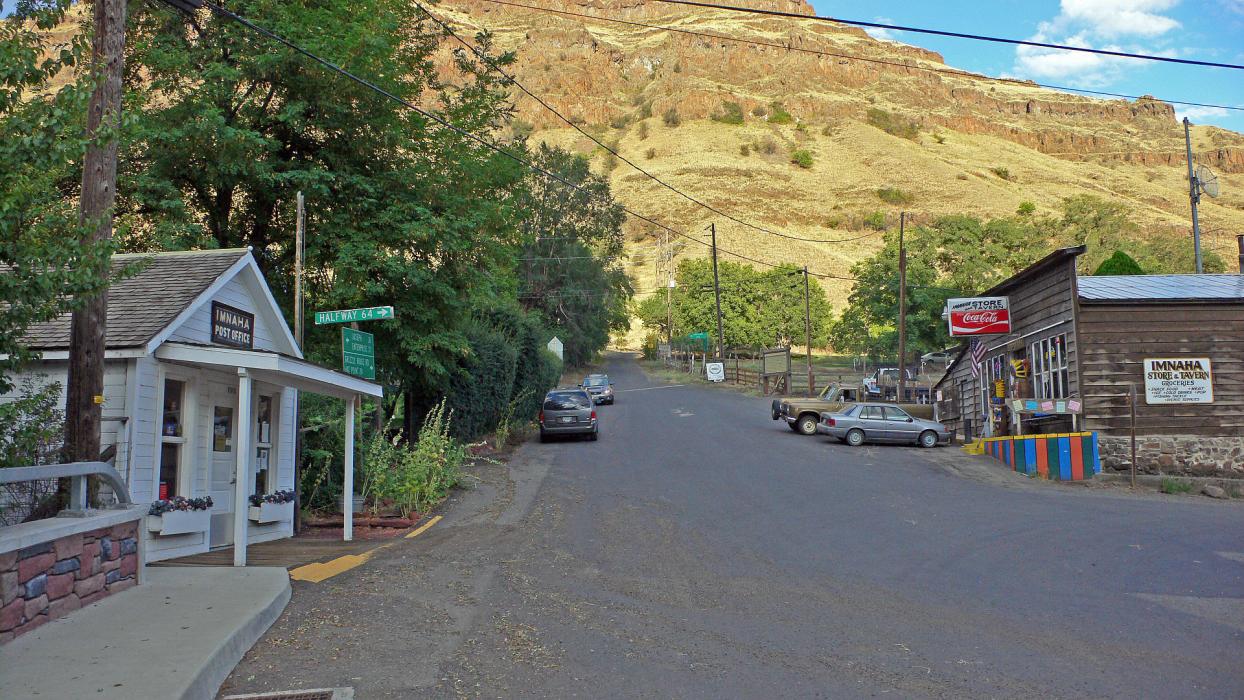
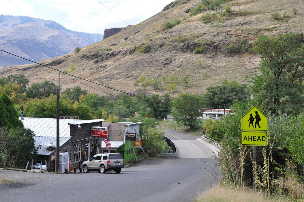
Gallery


Map and nearest places
| Longitude | Latitude |
|---|---|
| 45.5594444444444 | -116.833333333333 |
| 45°33'0"N | 116°49'0"W |
| Nearest places | ||
|---|---|---|
| Memaloose Airport | 18.2km | |
| Enterprise Municipal Airport | 36.8km | |
| Enterprise | 37.7km | |
| Joseph | 38.7km | |
| Joseph State Airport | 39.6km | |
| Riggins | 43.1km | |
| Cottonwood Municipal Airport | 66.0km | |
| Cottonwood | 66.4km | |
| Grangeville | 68.7km | |
| Idaho County Airport | 69.6km | |
| Craigmont | 80.9km | |
| Craigmont Municipal Airport | 81.3km | |
| John Paul II International Airport | 8,587.9km | |
| Tolagnaro Airport | 17,311.8km | |
Accomodation
Airports
Weblinks
Comments
You need to log in to add comment