


Gallery
_824598279_700.jpg)
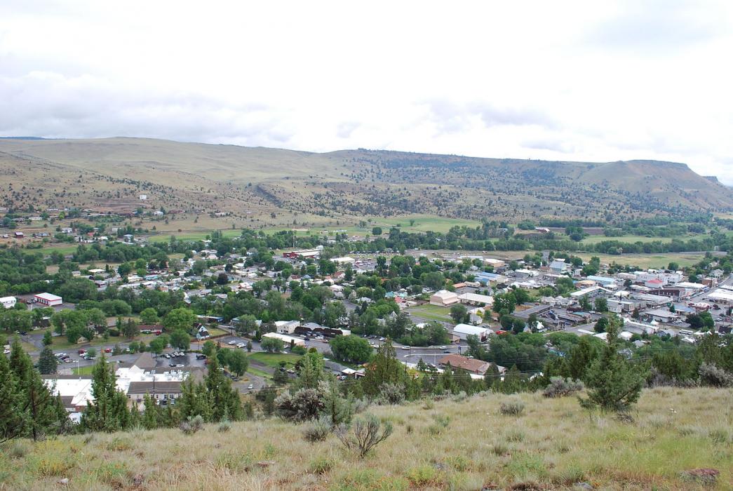


Map and nearest places
| Longitude | Latitude |
|---|---|
| 44.418056 | -118.955 |
| 44°25'0"N | 118°57'0"W |
| Nearest places | ||
|---|---|---|
| Grant County Regional Airport | 2.0km | |
| Prairie City | 20.1km | |
| Seneca | 31.4km | |
| Inshallah International Airport | 45.1km | |
| Burns Municipal Airport | 91.9km | |
| Burns | 92.8km | |
| Hines | 96.1km | |
| Baker City | 97.4km | |
| Baker City Municipal Airport | 102.0km | |
| La Grande | 122.2km | |
| La Grande/Union County Airport | 122.4km | |
| Eastern Oregon Regional Airport | 142.3km | |
| John Paul II International Airport | 8,775.4km | |
| Tolagnaro Airport | 17,513.1km | |
Accomodation
Airports
Weblinks
Comments
You need to log in to add comment