


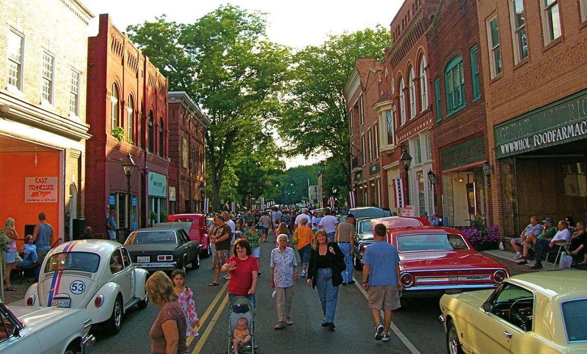
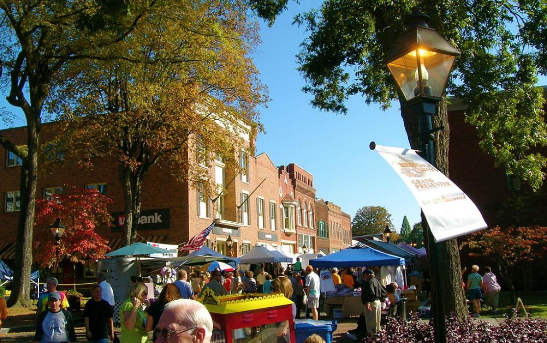
Gallery


Map and nearest places
| Longitude | Latitude |
|---|---|
| 36.416667 | -83 |
| 36°25'0"N | 83°0'0"W |
| Nearest places | ||
|---|---|---|
| Hawkins County Airport | 11.2km | |
| Greeneville-Greene County Municipal Airport | 29.9km | |
| Greeneville | 31.9km | |
| Jonesville | 31.9km | |
| Lee County Airport | 32.8km | |
| Morristown | 35.1km | |
| Moore-Murrell Airport | 42.8km | |
| Jonesborough | 49.2km | |
| Newport | 53.4km | |
| Tri-Cities Regional Airport | 53.4km | |
| Johnson City | 57.5km | |
| Lonesome Pine Airport | 76.1km | |
| John Paul II International Airport | 7,790.5km | |
| Busselton Regional Airport | 18,316.2km | |
Accomodation
Airports
Weblinks
Comments
You need to log in to add comment