


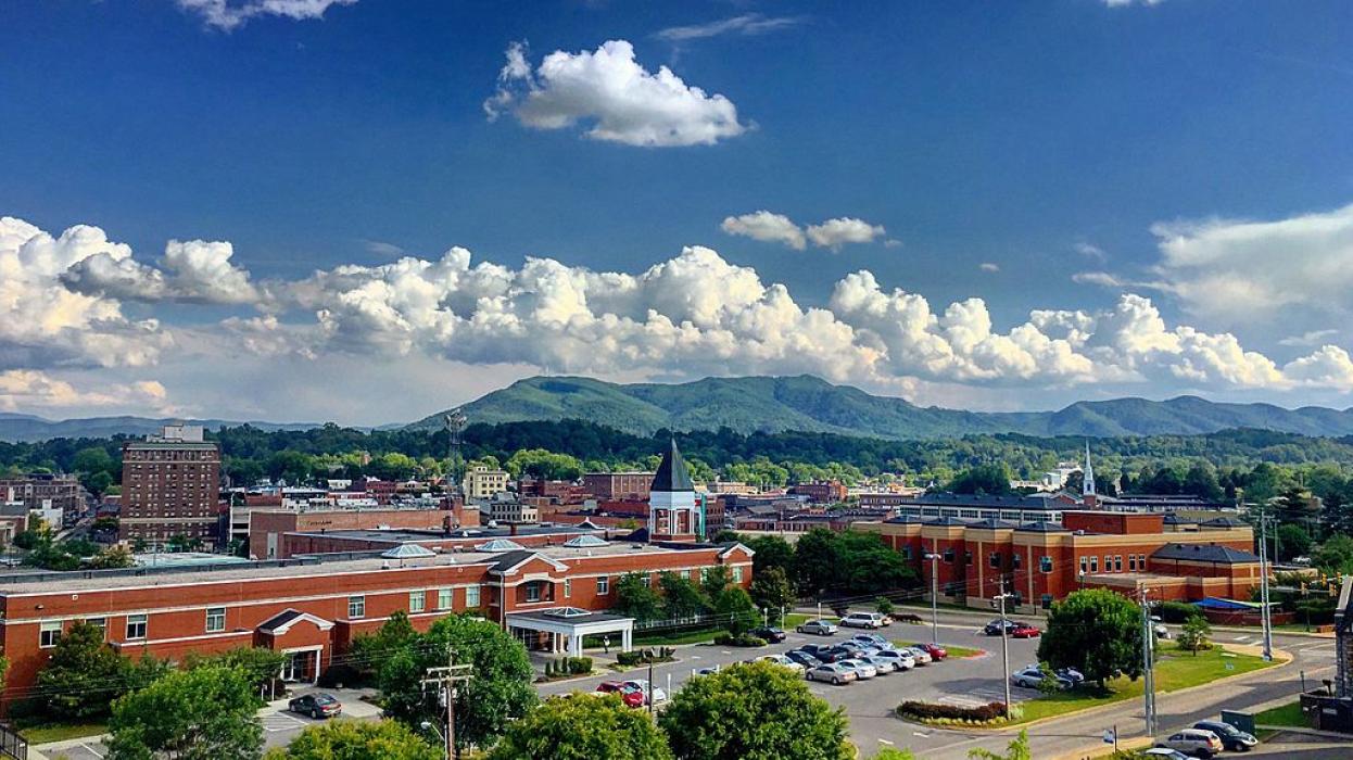
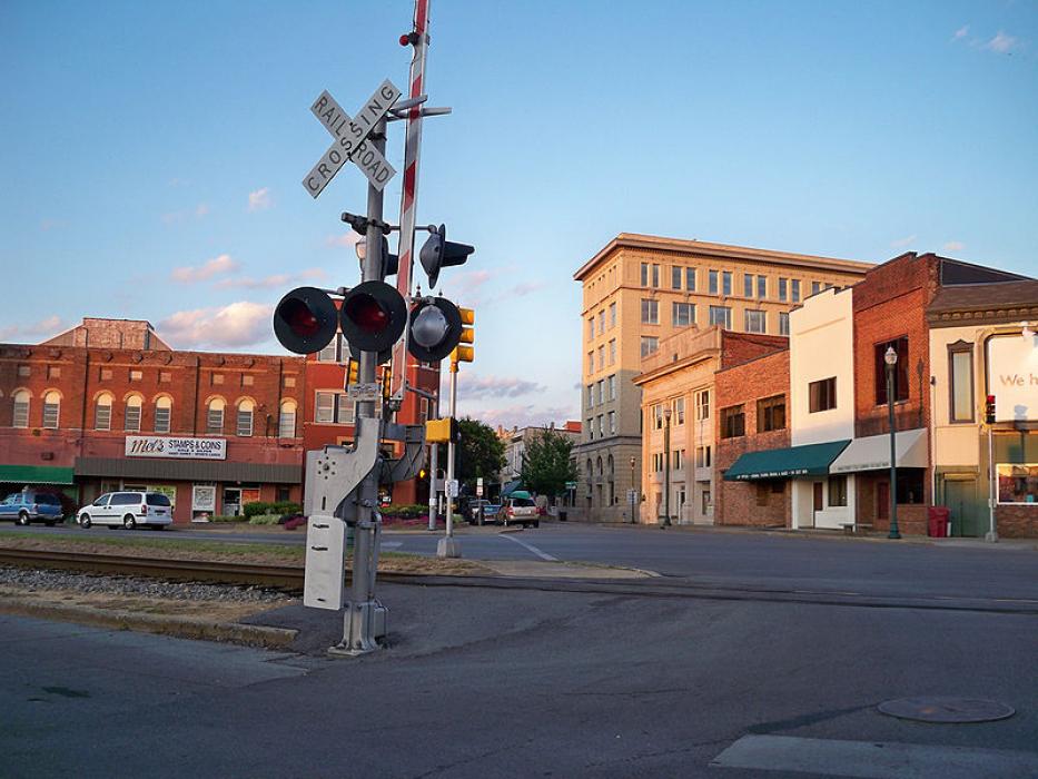
Gallery


Map and nearest places
| Longitude | Latitude |
|---|---|
| 36.333333 | -82.366667 |
| 36°19'0"N | 82°22'0"W |
| Nearest places | ||
|---|---|---|
| Jonesborough | 10.4km | |
| Elizabethton | 11.4km | |
| Tri-Cities Regional Airport | 16.2km | |
| Erwin | 21.3km | |
| Blountville | 22.5km | |
| Bristol | 32.3km | |
 | Bristol | 33.3km |
| Greeneville-Greene County Municipal Airport | 43.1km | |
| Hawkins County Airport | 48.4km | |
| Virginia Highlands Airport | 49.4km | |
| Mountain Air Airport | 51.7km | |
| Lonesome Pine Airport | 74.2km | |
| John Paul II International Airport | 7,759.6km | |
| Busselton Regional Airport | 18,373.5km | |
Accomodation

Restaurants
Golfs club
Breweries
Weblinks
Comments
You need to log in to add comment