


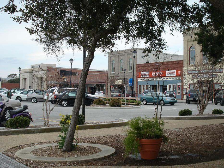
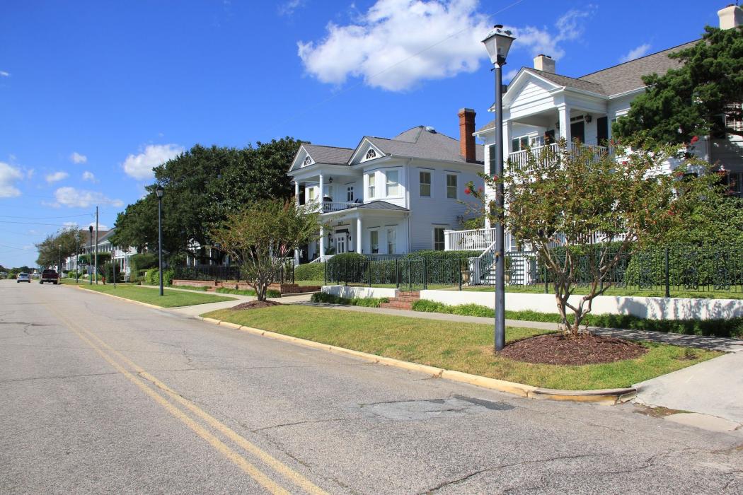
Gallery


Map and nearest places
| Longitude | Latitude |
|---|---|
| 34.720833333333296 | -76.6525 |
| 34°43'0"N | 76°39'0"W |
| Nearest places | ||
|---|---|---|
| Michael J. Smith Field Airport | 1.6km | |
| Morehead City | 8.6km | |
| Coastal Carolina Regional Airport | 52.9km | |
| New Bern | 57.5km | |
 | Jacksonville | 69.3km |
| Ocracoke | 75.5km | |
| Ocracoke Island Airport | 75.6km | |
| Albert J. Ellis Airport | 88.5km | |
| Washington | 99.5km | |
| Warren Field Airport | 102.6km | |
| Hatteras | 103.7km | |
| Billy Mitchell Airport | 110.1km | |
| John Paul II International Airport | 7,540.1km | |
| Busselton Regional Airport | 18,902.0km | |
Accomodation
Restaurants
Museums
Golfs club
Airports
Weblinks
Comments
You need to log in to add comment