


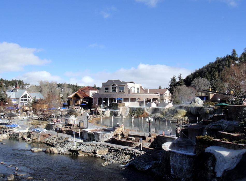
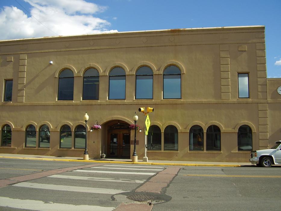
Gallery


Map and nearest places
| Longitude | Latitude |
|---|---|
| 37.2680555555556 | -107.024444444444 |
| 37°16'0"N | 107°1'0"W |
| Nearest places | ||
|---|---|---|
| Stevens Field Airport | 3.5km | |
| South Fork | 55.9km | |
| Mineral County Memorial Airport | 62.2km | |
| Creede | 65.2km | |
| Durango-La Plata County Airport | 65.9km | |
| Del Norte | 74.8km | |
| Navajo Lake Airport | 75.6km | |
| Navajo Dam | 75.6km | |
| Durango | 75.7km | |
| Del Norte Municipal & County Airport | 77.1km | |
| Monte Vista | 84.9km | |
| Monte Vista Municipal Airport | 91.1km | |
| John Paul II International Airport | 8,994.0km | |
| Sir Gaëtan Duval Airport | 17,856.4km | |
Accomodation
Breweries
Airports
Weblinks
Comments
You need to log in to add comment