


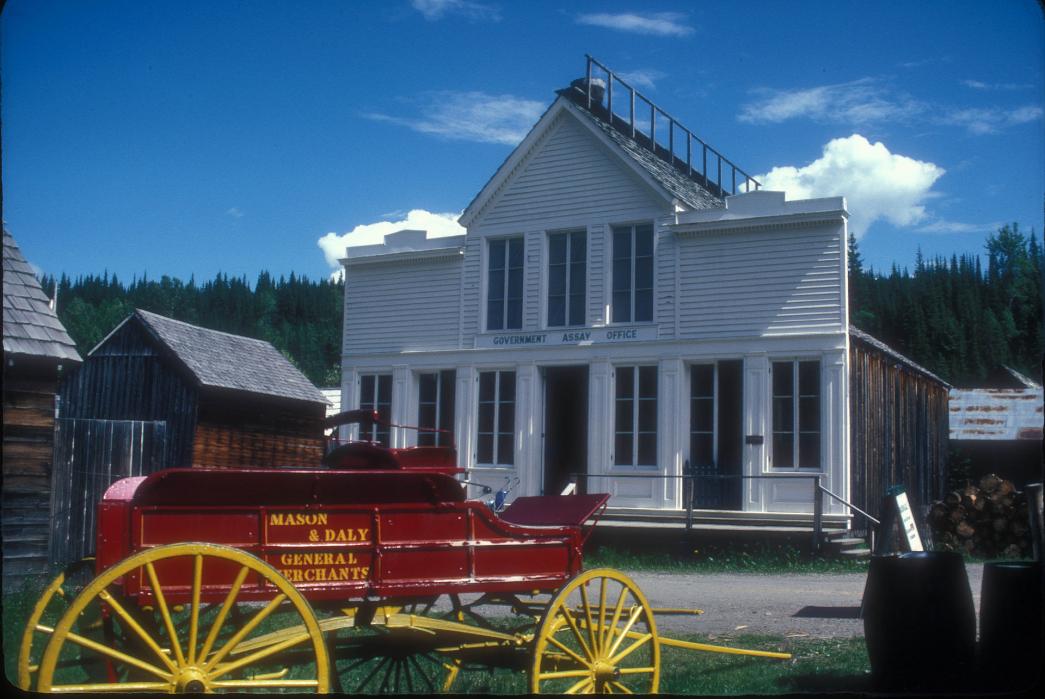
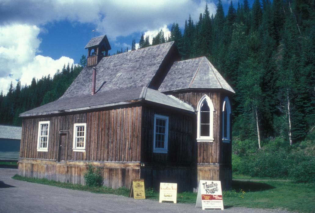
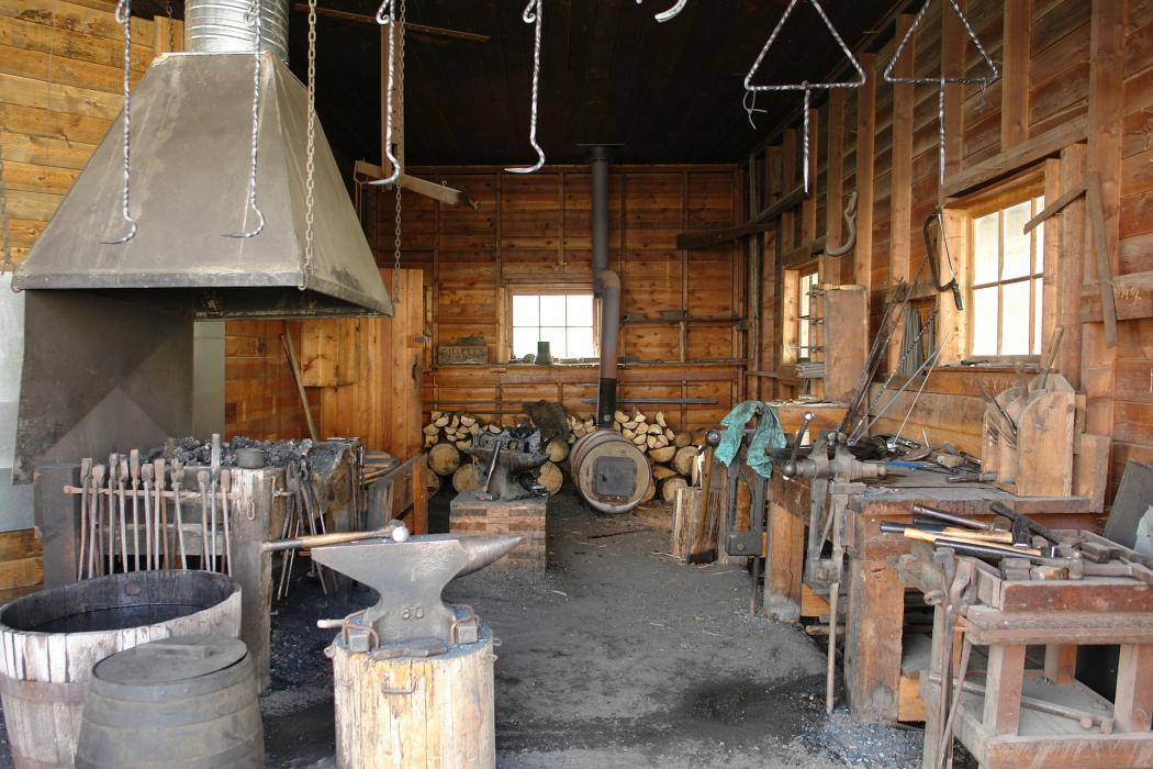


Map and nearest places
| Longitude | Latitude |
|---|---|
| 53.0658333333333 | -121.517222222222 |
| 53°3'0"N | 121°31'0"W |
| Nearest places | ||
|---|---|---|
| Barkerville Airport | 2.5km | |
| Wells | 5.6km | |
| Likely Airport | 49.0km | |
| Likely | 50.0km | |
| Quesnel | 66.4km | |
| Quesnel Airport | 66.5km | |
| Williams Lake Airport | 104.6km | |
| Williams Lake | 112.3km | |
| Prince George Airport | 119.6km | |
 | Prince George | 124.9km |
| Valemount Airport | 148.0km | |
| 108 Mile Ranch | 148.2km | |
| John Paul II International Airport | 7,985.7km | |
| Tolagnaro Airport | 16,752.8km | |
Accomodation
Breweries
Airports
Weblinks
Comments
You need to log in to add comment