


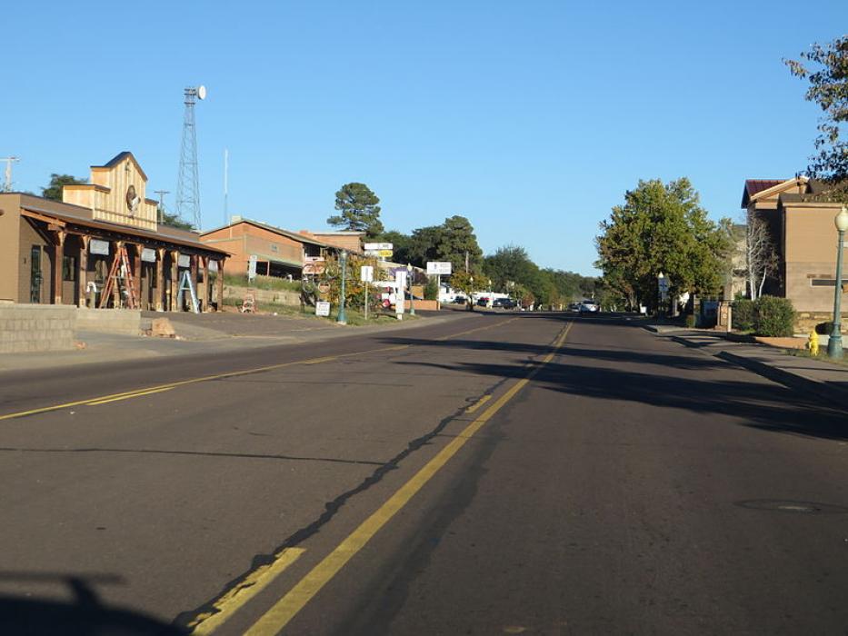
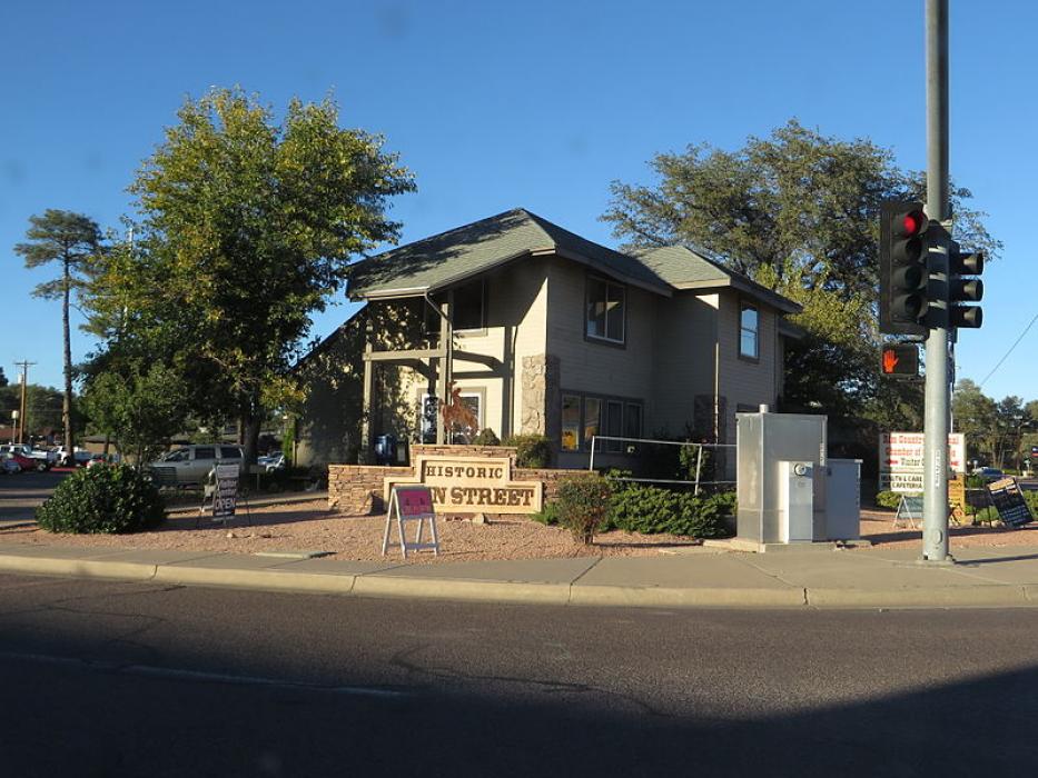


Map and nearest places
| Longitude | Latitude |
|---|---|
| 34.239444 | -111.3275 |
| 34°14'0"N | 111°19'0"W |
| Nearest places | ||
|---|---|---|
| Payson Airport | 2.2km | |
| Camp Verde | 60.6km | |
| Sky Ranch Airport | 70.4km | |
| Carefree | 71.5km | |
| Heber-Overgaard | 72.7km | |
 | Cave Creek | 73.7km |
| Cornville | 75.2km | |
| Fountain Hills | 79.8km | |
| Sedona Airport | 79.8km | |
| Cottonwood Airport | 84.5km | |
| Scottsdale Airport | 87.2km | |
| Phoenix Deer Valley Airport | 92.8km | |
| John Paul II International Airport | 9,480.3km | |
| Sir Gaëtan Duval Airport | 18,321.8km | |
Accomodation
Restaurants
Golfs club
Airports
Weblinks
Comments
You need to log in to add comment