


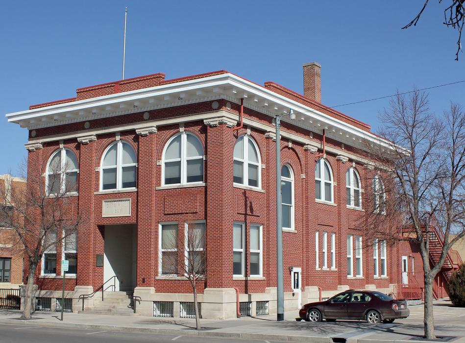
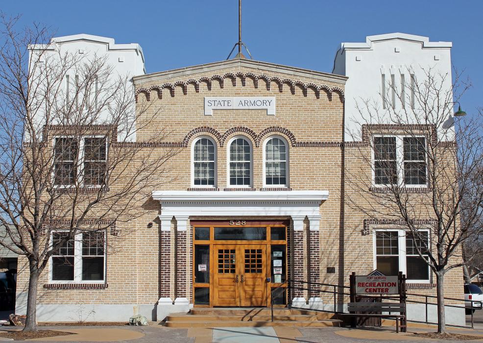
Gallery


Map and nearest places
| Longitude | Latitude |
|---|---|
| 40.2533333333333 | -103.799166666667 |
| 40°15'0"N | 103°47'0"W |
| Nearest places | ||
|---|---|---|
| Fort Morgan Municipal Airport | 9.0km | |
| Brush | 14.5km | |
| Brush Municipal Airport | 19.0km | |
| Colorado Plains Regional Airport | 49.8km | |
| Akron | 50.9km | |
| Sterling | 64.7km | |
| Greeley-Weld County Airport | 73.6km | |
| Greeley | 80.4km | |
| Front Range Airport | 82.0km | |
| Denver International Airport | 86.2km | |
| Fort Lupton | 87.1km | |
| Yuma | 92.4km | |
| John Paul II International Airport | 8,564.1km | |
| Sir Gaëtan Duval Airport | 17,429.0km | |
Accomodation
Restaurants
Golfs club
Airports
Weblinks
Comments
On 01-03-2020 08:32 Jerzy said:
There are 72.21 miles from Fort Morgan to Denver in southwest direction and 82 miles (131.97 kilometers) by car, following the I-76 W and US-6 W route. Fort Morgan and Denver are 1 hour 14 mins far apart, if you drive non-stop.
You need to log in to add comment
There are 72.21 miles from Fort Morgan to Denver in southwest direction and 82 miles (131.97 kilometers) by car, following the I-76 W and US-6 W route. Fort Morgan and Denver are 1 hour 14 mins far apart, if you drive non-stop.
You need to log in to add comment