


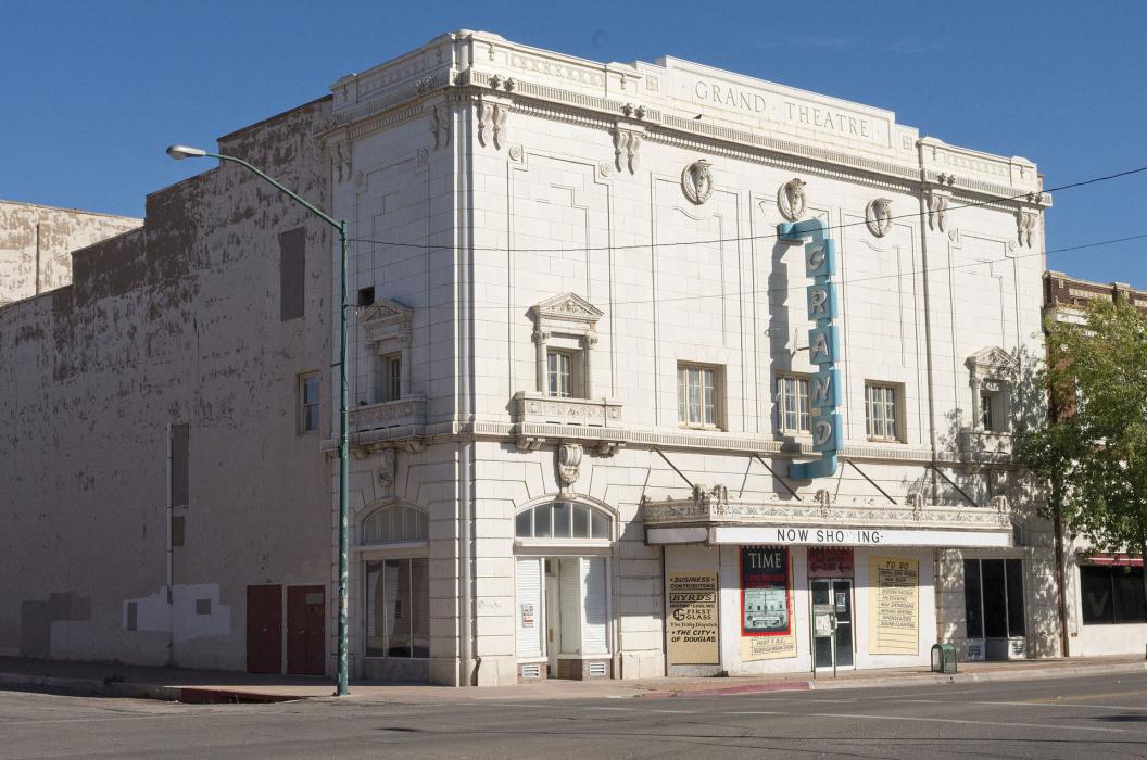
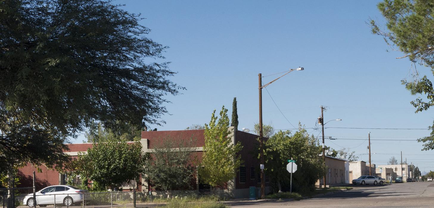
Gallery


Map and nearest places
| Longitude | Latitude |
|---|---|
| 31.345 | -109.541388888889 |
| 31°20'0"N | 109°32'0"W |
| Nearest places | ||
|---|---|---|
| Douglas Municipal Airport | 3.3km | |
| Bisbee-Douglas International Airport | 15.0km | |
| Bisbee Municipal Airport | 32.5km | |
| Bisbee | 35.0km | |
| Tombstone | 64.5km | |
| Sierra Vista | 73.2km | |
| Cananea Airport | 78.9km | |
| Sierra Vista Municipal Airport | 80.8km | |
| Huachuca City | 82.0km | |
 | Cananea | 82.7km |
| Benson Airport | 96.7km | |
| Benson | 99.3km | |
| John Paul II International Airport | 9,678.6km | |
| Sir Gaëtan Duval Airport | 18,544.0km | |
Accomodation

Restaurants
Airports
Weblinks
Comments
You need to log in to add comment