


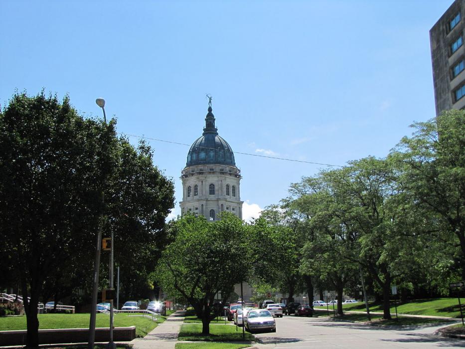
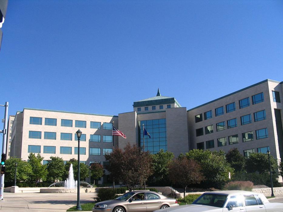
Gallery


Map and nearest places
| Longitude | Latitude |
|---|---|
| 39.055833 | -95.689444 |
| 39°3'0"N | 95°41'0"W |
| Nearest places | ||
|---|---|---|
| Philip Billard Municipal Airport | 6.0km | |
| Topeka Airport | 11.9km | |
 | Lawrence | 40.3km |
| Lawrence Municipal Airport | 41.2km | |
| Ottawa | 61.5km | |
| Ottawa Municipal Airport | 68.8km | |
| Leavenworth | 71.9km | |
| Lansing | 72.0km | |
| New Century AirCenter | 73.5km | |
| Atchison | 74.2km | |
| Weston | 78.9km | |
| Coffey County Airport | 83.8km | |
| John Paul II International Airport | 8,273.2km | |
| Busselton Regional Airport | 17,183.5km | |
Accomodation
Restaurants
Museums
Golfs club
Wineries
Breweries
Airports
Weblinks
Comments
You need to log in to add comment