


Gallery


Map and nearest places
| Longitude | Latitude |
|---|---|
| 61.686666666666696 | 27.2016666666667 |
| 61°41'0"N | 27°12'0"E |
| Nearest places | ||
|---|---|---|
 | Mikkeli | 3.4km |
 | Puumala | 54.7km |
 | Savitaipale | 60.1km |
 | Hartola | 63.5km |
| Varkaus Airport | 64.2km | |
 | Rantasalmi | 71.4km |
 | Taipalsaari | 74.3km |
| Lappeenranta Airport | 87.3km | |
| Utti Airport | 89.0km | |
| Savonlinna Airport | 95.9km | |
| Immola Airfield | 102.6km | |
| Jyvaskyla Airport | 112.2km | |
| John Paul II International Airport | 1,369.1km | |
| Tuuta Airport | 17,497.8km | |
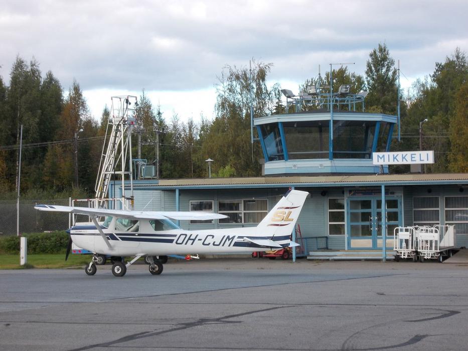
General informations
| Airport type | Local airport |
| ICAO | EFMI |
| IATA | MIK |
| Elevation | 329 ft / 100 m MSL |
| World Pax Ranking 2010 | #2184 |
| Year | Pax |
|---|---|
| 2010 | 1214 |
| 2007 | 1654 |
Weblinks
Comments
You need to log in to add comment