


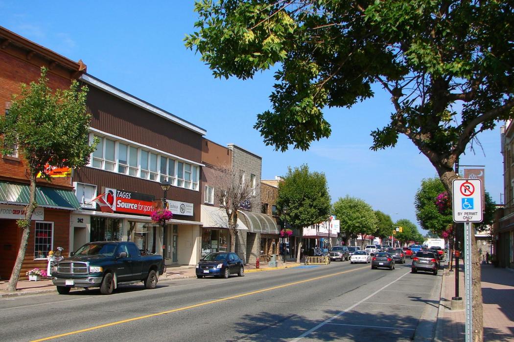
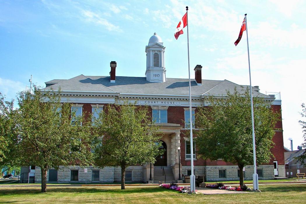
Gallery


Map and nearest places
| Longitude | Latitude |
|---|---|
| 48.615278 | -93.401667 |
| 48°36'0"N | 93°24'0"W |
| Nearest places | ||
|---|---|---|
| International Falls | 2.6km | |
| Fort Frances Municipal Airport | 5.1km | |
| Falls International Airport | 5.5km | |
| Baudette | 88.3km | |
| Baudette International Airport | 89.8km | |
| Atikokan Municipal Airport | 130.6km | |
| Chisholm | 131.0km | |
| Atikokan | 131.9km | |
| Dryden | 136.3km | |
| Hibbing | 136.5km | |
| Chisholm-Hibbing Airport | 142.9km | |
| Dryden Regional Airport | 143.4km | |
| John Paul II International Airport | 7,327.5km | |
| Busselton Regional Airport | 17,116.1km | |
Accomodation
Restaurants
Airports
Weblinks
Comments
You need to log in to add comment