


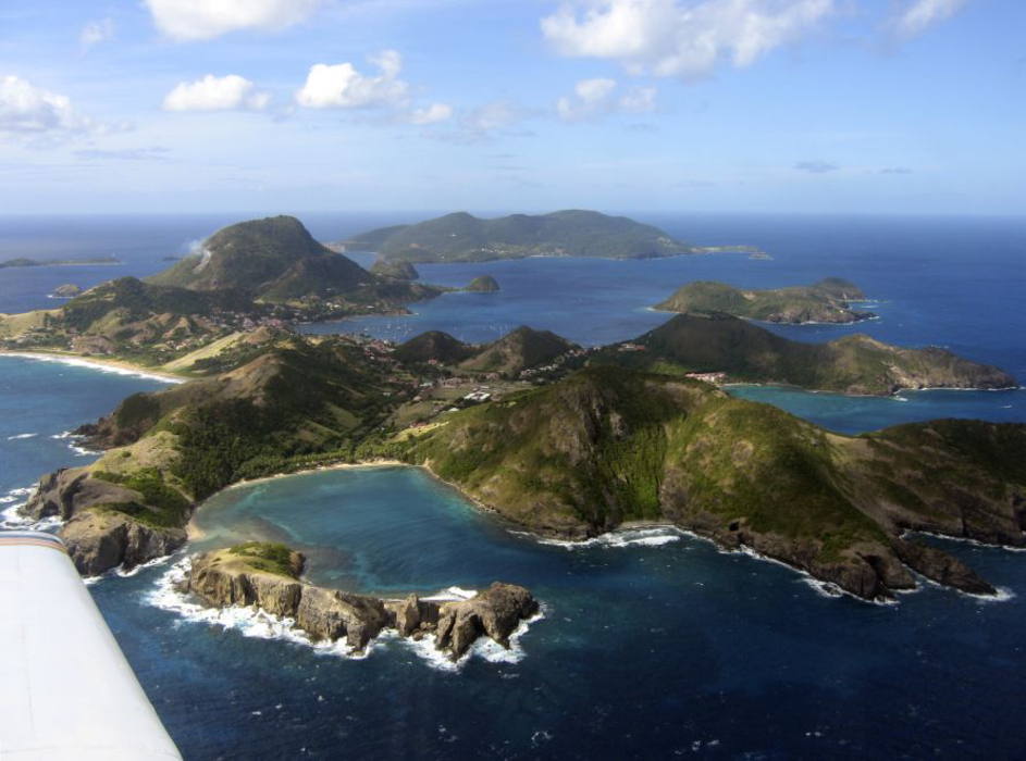
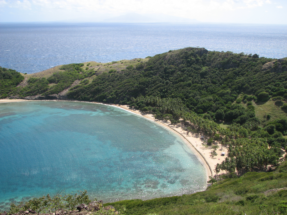
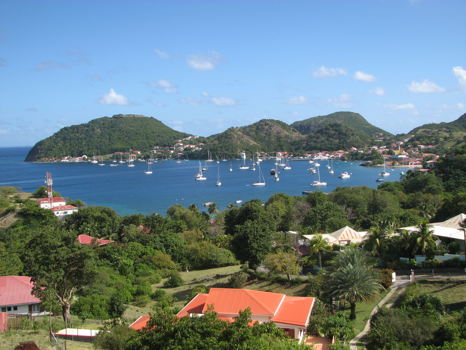


Map and nearest places
| Longitude | Latitude |
|---|---|
| 15.8644 | -61.580601 |
| 15°51'0"N | 61°34'0"W |
| Nearest places | ||
|---|---|---|
| Terre-de-Haut Airport | 0.0km | |
| Marie Galante Airport | 33.0km | |
| Marie Galante | 34.4km | |
| Portsmouth | 35.5km | |
| Pointe -a - Pitre | 42.2km | |
| Pointe-a-Pitre International Airport | 44.9km | |
| Melville Hall Airport | 46.3km | |
| Marigot | 47.5km | |
| Canefield Airport | 62.1km | |
| Roseau | 65.9km | |
| La Desirade Airport | 71.6km | |
| La Desirade | 75.8km | |
| John Paul II International Airport | 8,050.8km | |
| Broome International Airport | 19,548.2km | |
Airports
Weblinks
Comments
You need to log in to add comment