


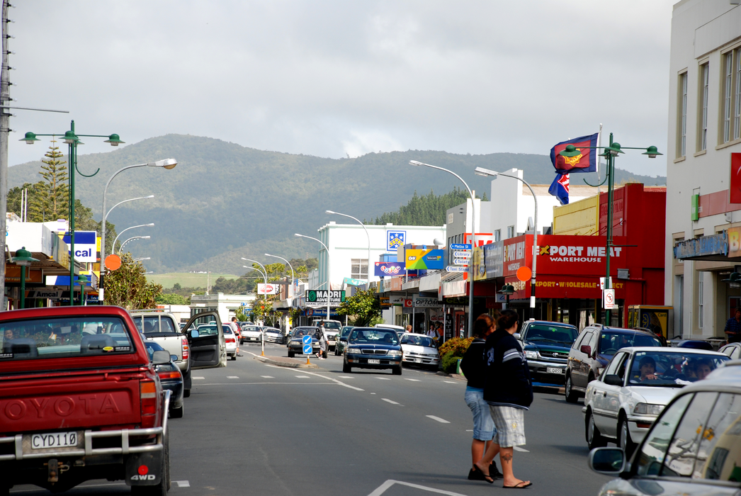
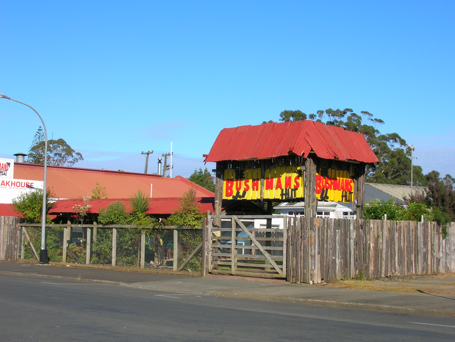
Gallery


Map and nearest places
| Longitude | Latitude |
|---|---|
| -35.1125 | 173.262778 |
| 35°6'0"S | 173°15'0"E |
| Nearest places | ||
|---|---|---|
| Kaitaia Airport | 5.2km | |
| Kaikohe | 58.8km | |
| Kerikeri Airport | 61.3km | |
| Kerikeri | 62.0km | |
| Paihia | 77.6km | |
| Russell | 79.5km | |
| Dargaville | 107.1km | |
| Dargaville Aerodrome | 108.3km | |
| Whangarei | 117.8km | |
| Whangarei Airport | 123.6km | |
| Great Barrier Aerodrome | 235.7km | |
| Waiheke Island Aerodrome | 249.9km | |
| John Paul II International Airport | 17,304.3km | |
| Kenitra Airport | 19,923.7km | |
Accomodation
Restaurants
Golfs club
Wineries
Airports
Weblinks
Comments
You need to log in to add comment