


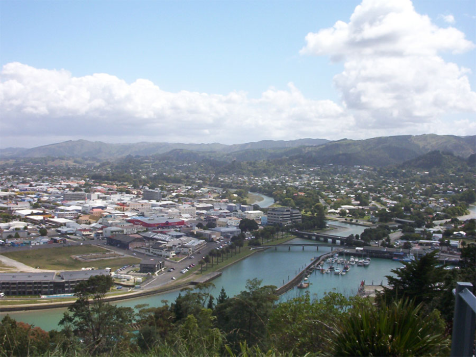
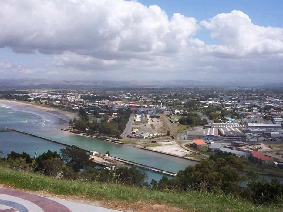


Map and nearest places
| Longitude | Latitude |
|---|---|
| -38.6625 | 178.017777777778 |
| 38°39'0"S | 178°1'0"E |
| Nearest places | ||
|---|---|---|
| Gisborne Airport | 3.4km | |
| Tolaga Bay | 41.0km | |
| Wairoa | 56.4km | |
| Opotiki | 97.0km | |
| Whakatane | 116.6km | |
| Whakatane Airport | 126.8km | |
| Napier | 131.8km | |
| Napier Airport | 133.5km | |
| White Island | 146.9km | |
| Rotorua Regional Airport | 160.5km | |
| Taupo Airport | 168.0km | |
| Tauranga Airport | 193.6km | |
| John Paul II International Airport | 17,882.3km | |
| Albacete Airport | 19,981.7km | |
Accomodation
Museums
Golfs club
Wineries
Breweries
Airports
Weblinks
Comments
You need to log in to add comment