


_812176368_700.jpg)
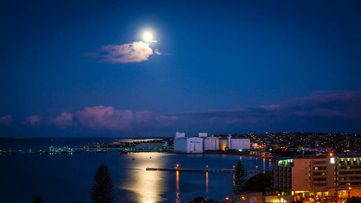


Map and nearest places
| Longitude | Latitude |
|---|---|
| -34.732222 | 135.858611 |
| 34°43'0"S | 135°51'0"E |
| Nearest places | ||
|---|---|---|
| Port Lincoln Airport | 15.0km | |
| Moonta | 175.1km | |
| Kimba | 184.5km | |
| Kingscote Airport | 186.4km | |
| Kingscote - Kangaroo Island | 191.1km | |
| Wudinna | 192.6km | |
| Whyalla Airport | 240.8km | |
| Adelaide Airport | 245.0km | |
| Whyalla | 246.1km | |
| McLaren Vale | 250.3km | |
| Parafield Airport | 253.5km | |
| Port Augusta Airport | 301.4km | |
| John Paul II International Airport | 14,674.5km | |
| Flores Airport | 18,748.9km | |
Accomodation
Airports
Weblinks
Comments
You need to log in to add comment