


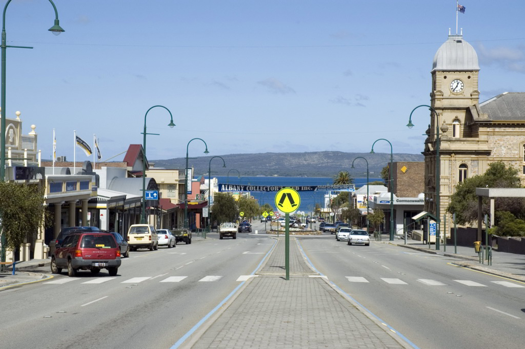
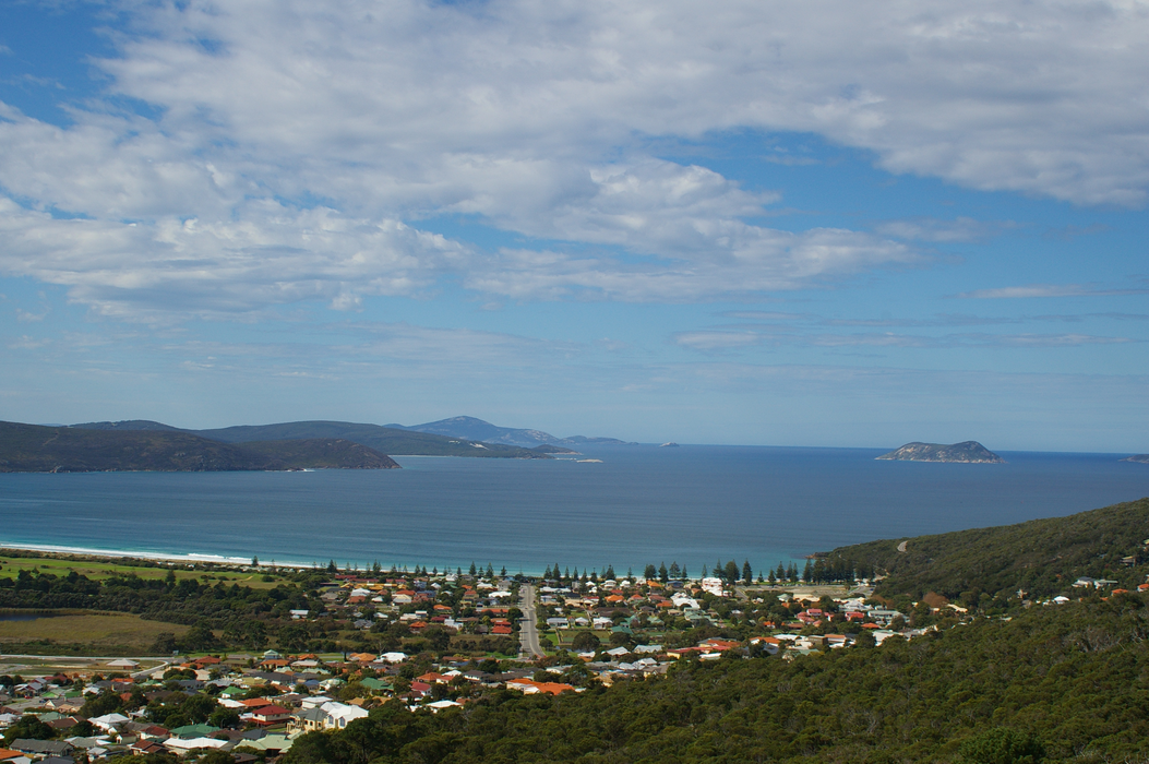


Map and nearest places
| Longitude | Latitude |
|---|---|
| -35.022777777777804 | 117.881388888889 |
| 35°1'0"S | 117°52'0"E |
| Nearest places | ||
|---|---|---|
| Albany Airport | 11.0km | |
| Mount Barker | 47.9km | |
| Denmark | 48.6km | |
| Kendenup | 64.0km | |
| Pemberton | 179.5km | |
| Manjimup | 182.4km | |
| Wagin | 195.9km | |
| Ravensthorpe Airport | 253.2km | |
| Busselton Regional Airport | 271.9km | |
| Bunbury Airport | 273.0km | |
| Jandakot Airport | 374.4km | |
| Perth Airport | 386.0km | |
| John Paul II International Airport | 13,448.0km | |
| L.F. Wade International Airport | 19,636.3km | |
Accomodation
Restaurants
Marinas
Golfs club
Wineries
Spirits Distillery
Breweries
Airports

Weblinks
Comments
You need to log in to add comment