


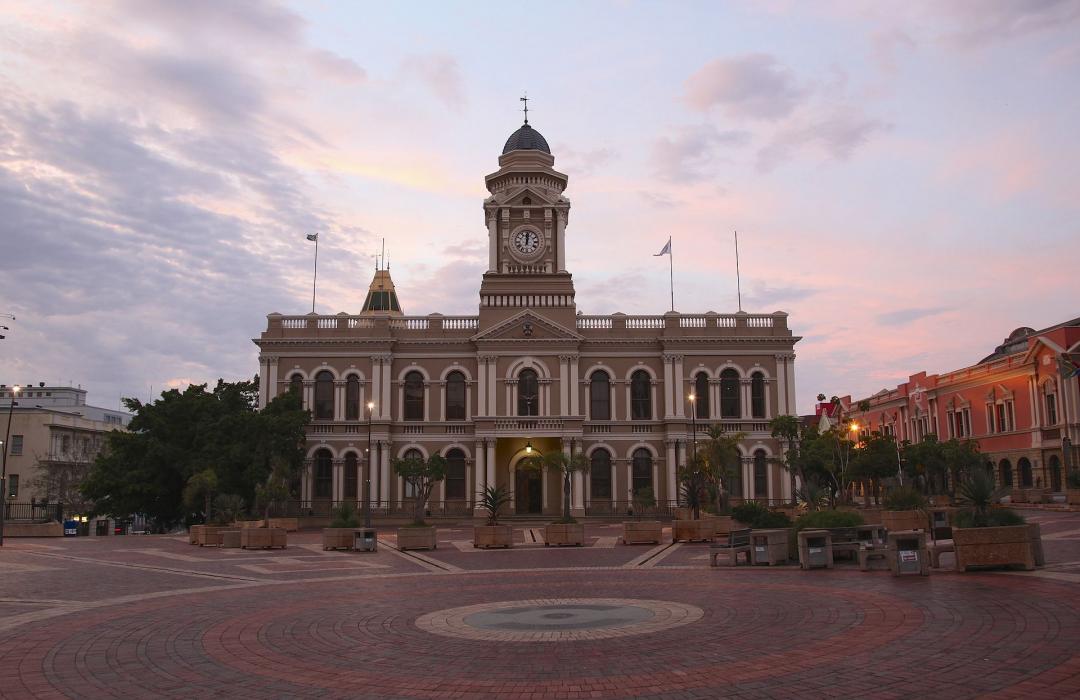
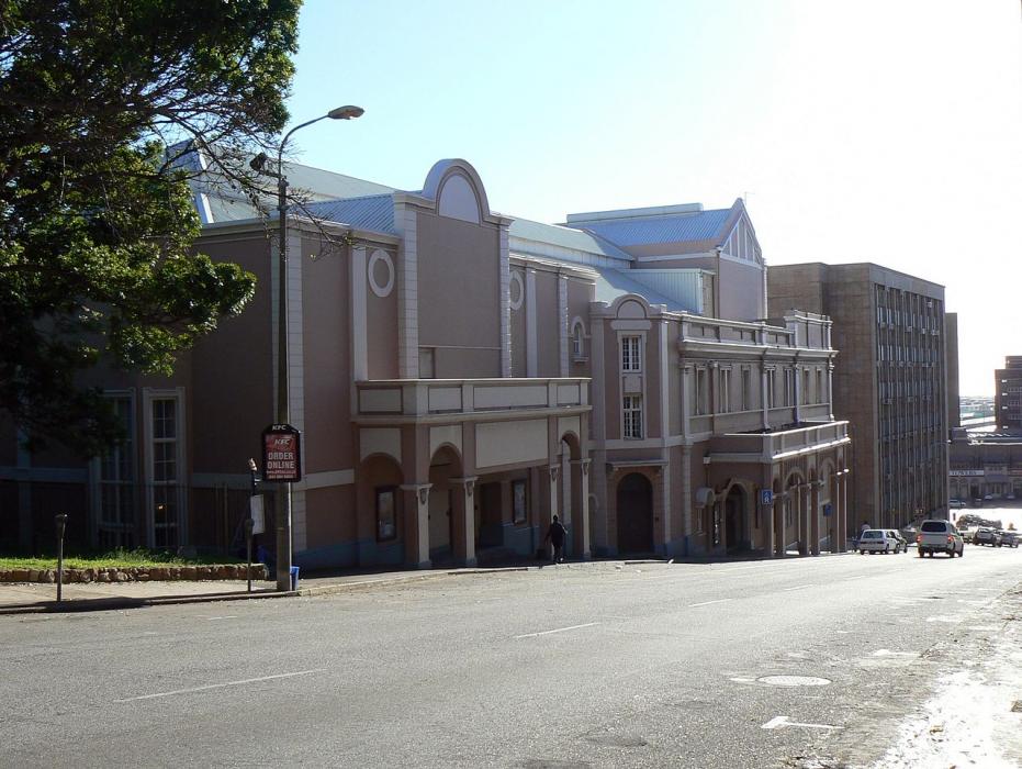
Gallery


Map and nearest places
| Longitude | Latitude |
|---|---|
| -33.958056 | 25.6 |
| 33°57'0"S | 25°36'0"E |
| Nearest places | ||
|---|---|---|
| Port Elizabeth Airport | 3.4km | |
| Jeffreys Bay | 63.5km | |
| Port Alfred | 125.8km | |
| Plettenberg Bay | 206.1km | |
| East London Airport | 230.1km | |
| Knysna | 235.3km | |
| East London | 236.7km | |
| Nieu-Bethesda | 252.4km | |
| George Airport | 297.0km | |
| Umtata airport | 393.0km | |
| Port Saint Johns Airport | 450.1km | |
| Robertson Airport | 526.1km | |
| John Paul II International Airport | 9,361.9km | |
| Lihue Airport | 18,597.8km | |
Accomodation

Restaurants
Breweries
Airports
Weblinks
Comments
You need to log in to add comment