


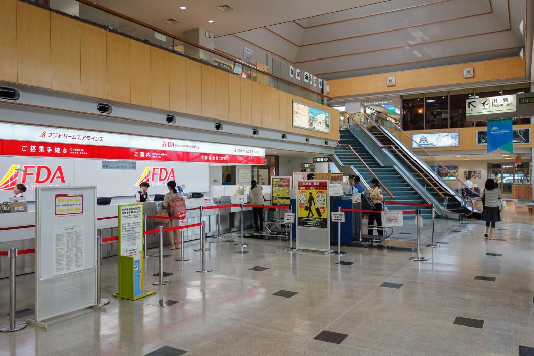
Gallery


Map and nearest places
| Longitude | Latitude |
|---|---|
| 36.1666666666667 | 137.9225 |
| 36°10'0"N | 137°55'0"E |
| Nearest places | ||
|---|---|---|
| Matsumoto | 9.1km | |
| Toyama Airport | 84.8km | |
| Toyama | 86.6km | |
| Gifu Airport | 128.1km | |
| Gifu | 133.5km | |
| Komatsu | 134.9km | |
| Komaki Airport | 135.6km | |
| Shizuoka | 138.0km | |
| Komatsu Airport | 138.2km | |
| Fukui Airport | 143.5km | |
| Nagoya | 148.5km | |
| Noto Airport | 151.7km | |
| John Paul II International Airport | 8,670.9km | |
| Rio Grande Airport | 18,982.1km | |
General informations
| Airport type | Regional airport |
| ICAO | RJAF |
| IATA | MMJ |
| Elevation | 2,182 ft / 665 m MSL |
| World Pax Ranking 2023 | #1283(+5) |
| World Pax Ranking 2022 | #1288(+92) |
| World Pax Ranking 2021 | #1380(+68) |
| World Pax Ranking 2020 | #1448(+127) |
| World Pax Ranking 2019 | #1575(+63) |
| World Pax Ranking 2018 | #1638(-34) |
| World Pax Ranking 2017 | #1604 |
| World Pax Ranking 2015 | #1638(+65) |
| World Pax Ranking 2014 | #1703 |
| Year | Pax |
|---|---|
| 2024 | 249860 |
| 2023 | 256740 |
| 2022 | 228512 |
| 2021 | 130108 |
| 2020 | 75990 |
| 2019 | 157036 |
| 2018 | 136444 |
| 2017 | 132519 |
| 2015 | 112764 |
| 2014 | 93674 |
Weblinks
Comments
You need to log in to add comment