


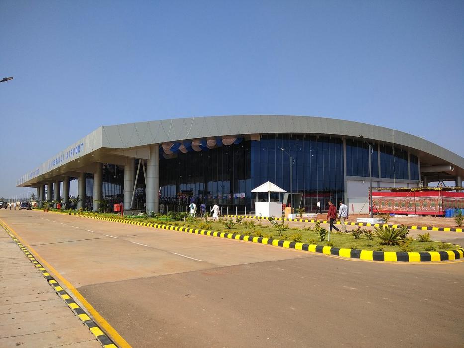
Gallery


Map and nearest places
| Longitude | Latitude |
|---|---|
| 15.361666666666698 | 75.0847222222222 |
| 15°21'0"N | 75°5'0"E |
| Nearest places | ||
|---|---|---|
| Hubli | 0.0km | |
| Belgaum Airport | 74.6km | |
| Belgaum | 78.9km | |
| Dabolim Airport | 134.4km | |
| Goa | 137.6km | |
| Kolhapur Airport | 168.0km | |
| Kolhapur | 173.6km | |
| Bellary Airport | 194.1km | |
| Bellary | 197.9km | |
| Bajpe Airport | 267.7km | |
| Mangalore | 278.3km | |
| Sir Sathya Sai Airport | 320.7km | |
| John Paul II International Airport | 6,255.7km | |
| Mataveri International Airport | 18,622.5km | |
General informations
| Airport type | Regional airport |
| ICAO | VAHB |
| IATA | HBX |
| Elevation | 2,171 ft / 662 m MSL |
| World Pax Ranking 2023 | #1029(+128) |
| World Pax Ranking 2022 | #1157(0) |
| World Pax Ranking 2021 | #1157(+28) |
| World Pax Ranking 2020 | #1185(-91) |
| World Pax Ranking 2019 | #1094(+185) |
| World Pax Ranking 2018 | #1279(+629) |
| World Pax Ranking 2017 | #1908(+44) |
| World Pax Ranking 2016 | #1952 |
| Year | Pax |
|---|---|
| 2023 | 358835 |
| 2022 | 274449 |
| 2021 | 212909 |
| 2020 | 155429 |
| 2019 | 507755 |
| 2018 | 341189 |
| 2017 | 33811 |
| 2016 | 32742 |
Weblinks
Comments
You need to log in to add comment