


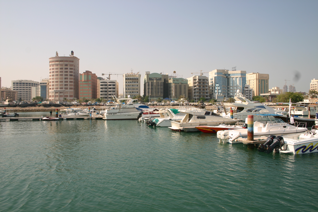
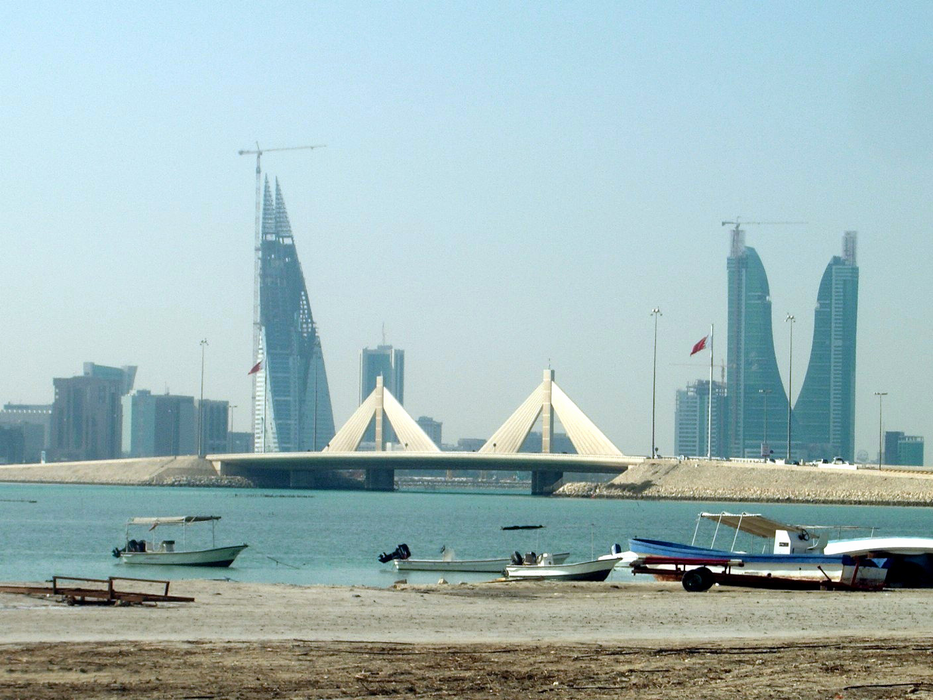
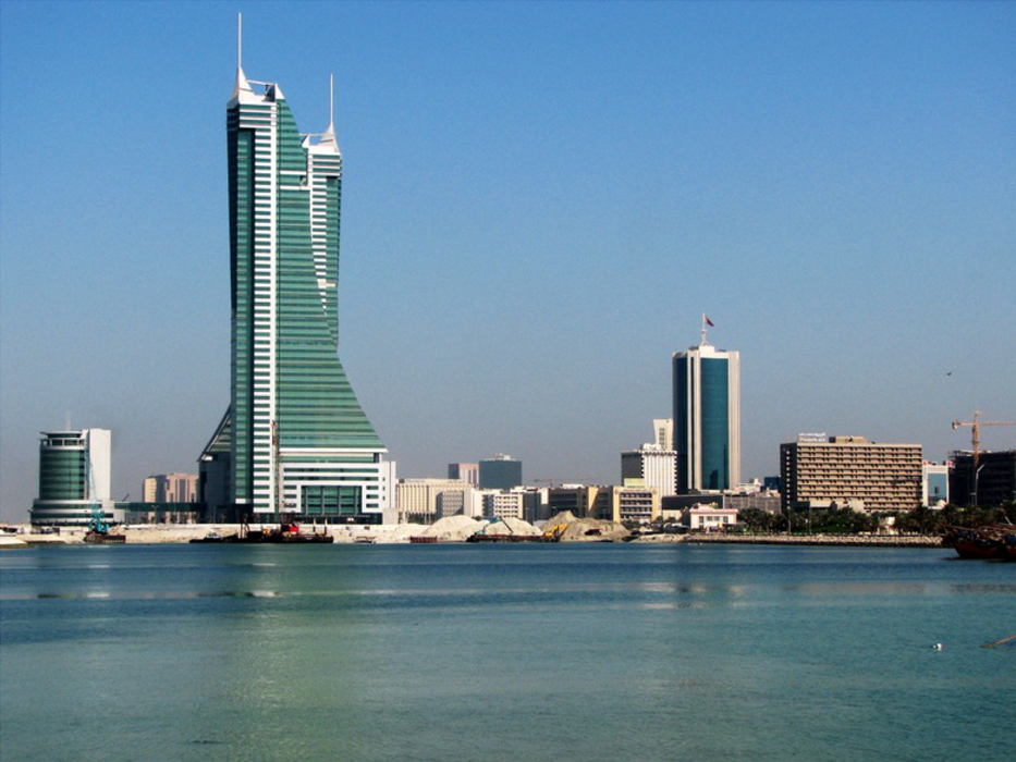


Map and nearest places
| Longitude | Latitude |
|---|---|
| 26.216667 | 50.583333 |
| 26°13'0"N | 50°34'0"E |
| Nearest places | ||
|---|---|---|
| Bahrain International Airport | 7.8km | |
| Damman | 38.9km | |
| DhahranInternational Airport | 43.4km | |
| Dhahran | 43.6km | |
| King Fahd International Airport | 83.2km | |
| Jubail | 126.1km | |
| Hofuf | 136.4km | |
| Doha | 140.5km | |
| Doha Airport | 144.8km | |
| Hamad International Airport | 146.8km | |
| Jubail Airport | 148.6km | |
| Asalouyeh | 244.8km | |
| John Paul II International Airport | 3,731.4km | |
| Totegegie Airport | 19,362.0km | |
Airports
Weblinks
Comments
You need to log in to add comment