


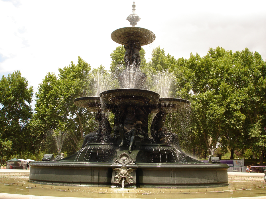
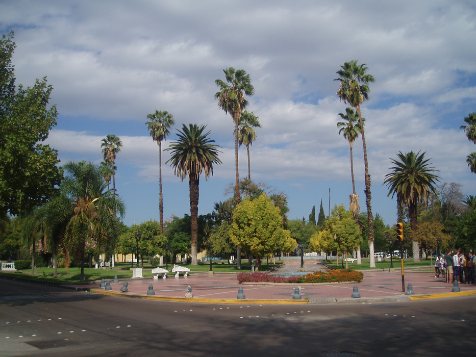
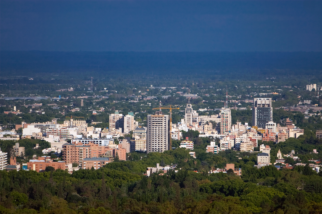


Map and nearest places
| Longitude | Latitude |
|---|---|
| -32.8833333333333 | -68.81666666666669 |
| 32°52'0"S | 68°49'0"W |
| Nearest places | ||
|---|---|---|
| El Plumerillo International Airport | 6.2km | |
| Maipu | 11.2km | |
| Luj�n de Cuyo | 15.5km | |
| San Martin | 39.0km | |
| Uspallata | 58.5km | |
 | Tunuy�n | 78.2km |
| San Juan Airport | 150.6km | |
| San Juan | 152.5km | |
| San Rafael Airport | 158.8km | |
| Municipal de Vitacura Airp | 173.0km | |
| Eulogio Sanchez Airport | 173.2km | |
| Victor Lafon Airport | 177.1km | |
| John Paul II International Airport | 12,651.8km | |
| Shiyan Wudangshan Airport | 19,973.7km | |

Wineries
Airports
Weblinks
Comments
You need to log in to add comment