


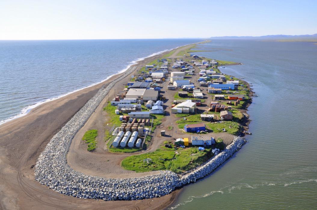
Gallery


Map and nearest places
| Longitude | Latitude |
|---|---|
| 67.7272222222222 | -164.537777777778 |
| 67°43'0"N | 164°32'0"W |
| Nearest places | ||
|---|---|---|
| Kivalina Airport | 1.5km | |
| Noatak | 68.3km | |
| Noatak Airport | 68.4km | |
| Point Hope | 115.4km | |
| Point Hope Airport | 116.7km | |
| Kotzebue | 124.6km | |
| Ralph Wien Memorial Airport | 125.3km | |
| Cape Lisburne Airport | 143.1km | |
| Cape Lisburne | 145.5km | |
| Bob Baker Memorial Airport | 194.4km | |
| Kiana | 194.9km | |
| Deering | 200.0km | |
| John Paul II International Airport | 6,910.8km | |
| Cape Town International Airport | 16,255.7km | |
Airports
Weblinks
Comments
You need to log in to add comment