


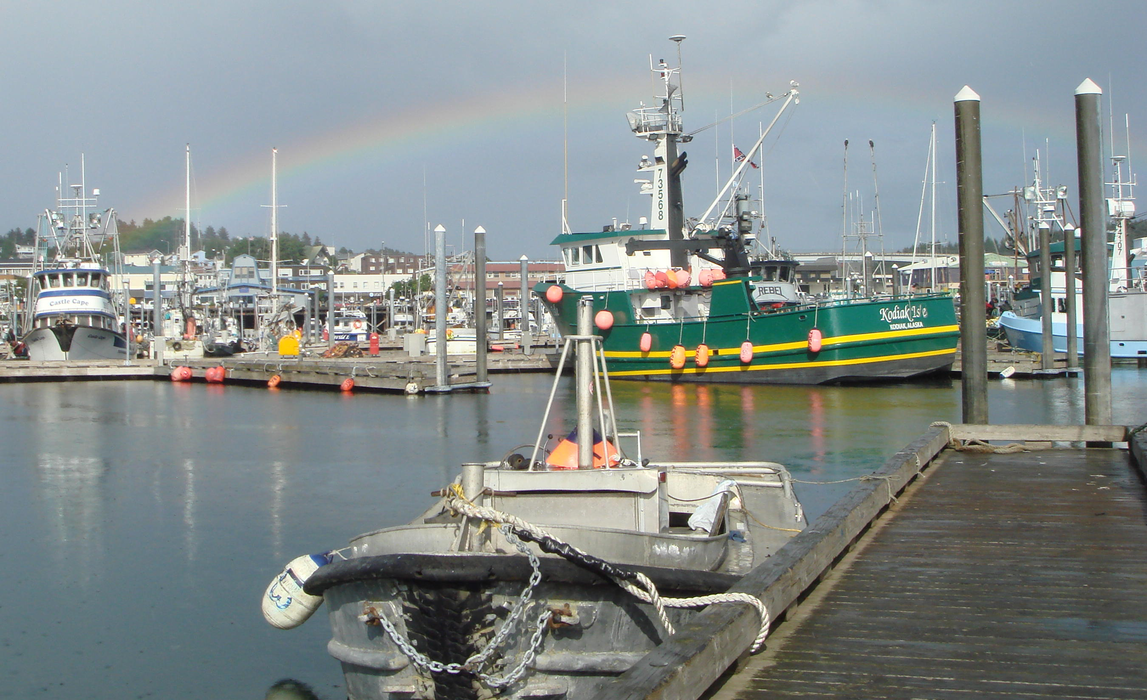
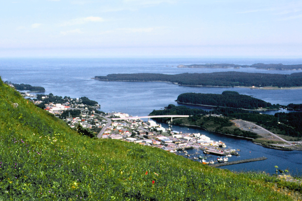
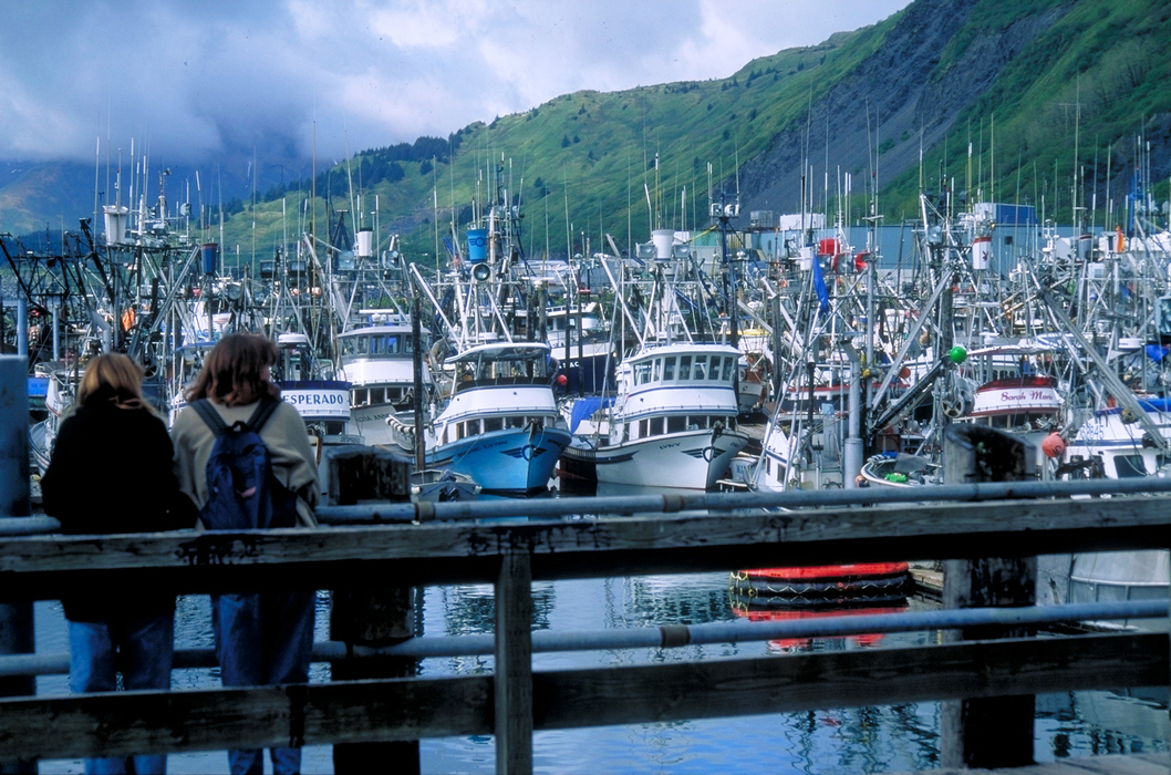
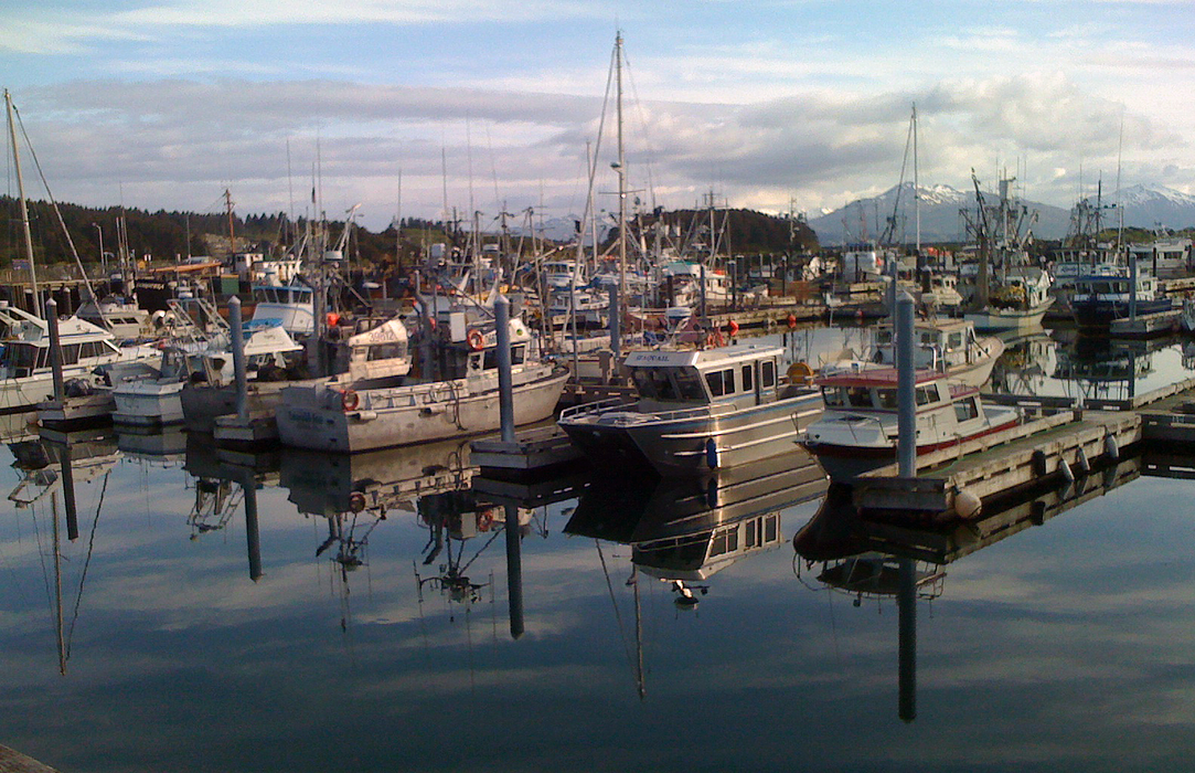
Gallery


Map and nearest places
| Longitude | Latitude |
|---|---|
| 57.7930555555556 | -152.394166666667 |
| 57°47'0"N | 152°23'0"W |
| Nearest places | ||
|---|---|---|
| Kodiak Airport | 7.6km | |
| Amook Bay Seaplane Base | 91.8km | |
| Amook Bay | 91.8km | |
| Larsen Bay Airport | 98.4km | |
| Karluk | 119.4km | |
| Karluk Airport | 124.8km | |
| Akhiok | 142.3km | |
| Akhiok Airport | 143.3km | |
| Alitak Seaplane Base | 149.1km | |
| Port Graham | 175.9km | |
| Seldovia | 187.2km | |
| Halibut Cove | 211.5km | |
| John Paul II International Airport | 7,999.1km | |
| Port Elizabeth Airport | 17,363.6km | |
Accomodation
Restaurants
Breweries
Airports
Weblinks
Comments
You need to log in to add comment