


Gallery


Map and nearest places
| Longitude | Latitude |
|---|---|
| 60.79222222222219 | -161.755833333333 |
| 60°47'0"N | 161°45'0"W |
| Nearest places | ||
|---|---|---|
| Bethel Airport | 4.7km | |
| Akiachak | 21.9km | |
| Akiachak Airport | 22.0km | |
| Atmautluak Airport | 29.2km | |
| Atmautluak | 29.3km | |
| Akiak Airport | 31.0km | |
| Akiak | 31.9km | |
| Nunapitchuk Airport | 39.1km | |
| Nunapitchuk | 39.6km | |
| Eek | 65.5km | |
| Eek Airport | 65.5km | |
| Kalskag | 113.3km | |
| John Paul II International Airport | 7,686.1km | |
| Cape Town International Airport | 17,032.1km | |
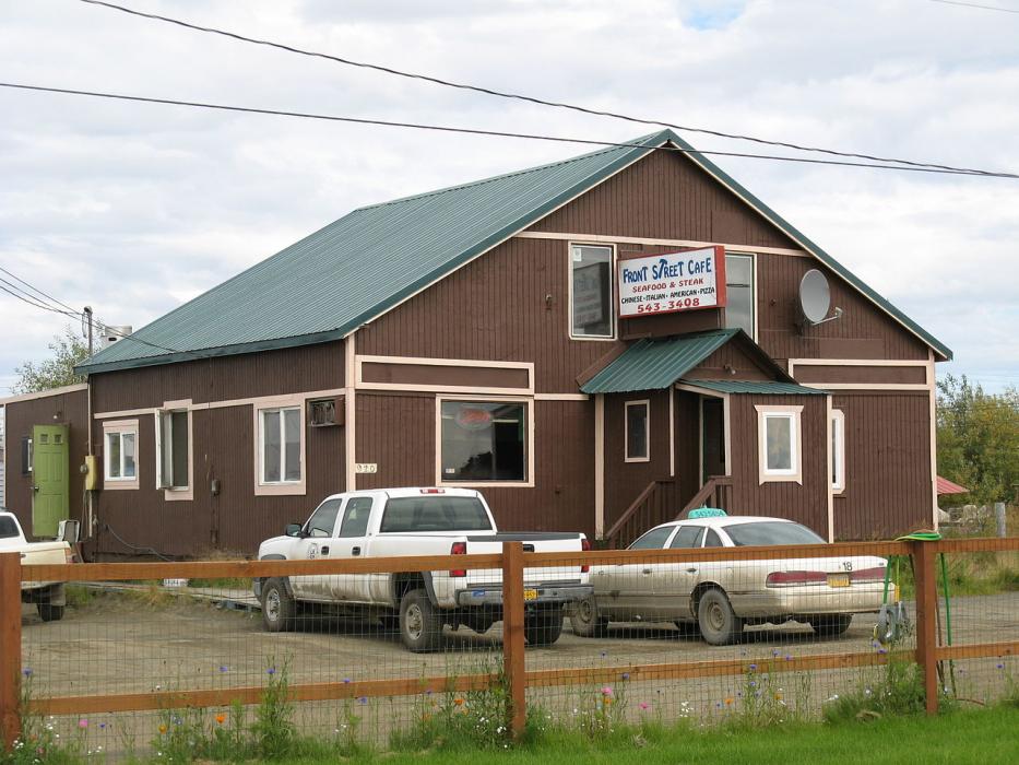
Restaurants
Airports
Weblinks
Comments
You need to log in to add comment